What is recorded here
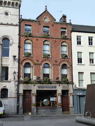
Attached three-bay four-storey public house, built c.1880, having shopfront to front (east) elevation. Pitched roof hidden behind red brick parapet with carved limestone cornice and pediment having carved finials and recessed plaque, cast-iron rainwater goods. Red brick walls, laid in Flemish bond with carved limestone string course and cast-iron wall ties. Square- and round-headed openings having one-over-one pane timber sliding sash windows. Those to first floor with limestone architraves having engaged limestone colonnettes, continuous limestone sill course and hood moulding with foliate stops, those to second floor having carved limestone architraves and carved stone tympana, those to third floor with carved limestone architraves and limestone sills. Shopfront comprising carved canted limestone pilasters and foliate capitals supporting plain limestone fascia having raised stone name-plaques and carved limestone cornice. Plain square-headed display window on panelled limestone stall riser, flanked by square-headed door openings with timber panelled doors and plain glass overlight to opening to north. Located to west side of Fownes Street Upper between Dame Street and Cecelia Street.
This building was constructed as part of the rebuilding of the area which took place in the late nineteenth and early twentieth centuries. The influence of John Ruskin's fashionable architectural theory is evident in the elaborately carved dressings. A well-executed plaque to the tympanum of the central first floor window records the initials of vintner John J. Corry, owner from 1885. The interior was remodelled 1995 by Frank Ennis and Associates. Fownes Street was named after Sir William Fownes, Lord Mayor of Dublin in 1708. While the street was unnamed on Charles Brookings map of Dublin dating to 1728, a number of large houses are depicted on the west side of Fownes Street on John Rocque’s map of Dublin dating to 1756.
This does not grant access. Most recorded buildings are privately owned; view them only from public ground unless the owner allows entry.
Places near here
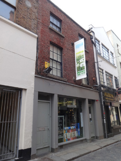 Meltprint works · 66 yd
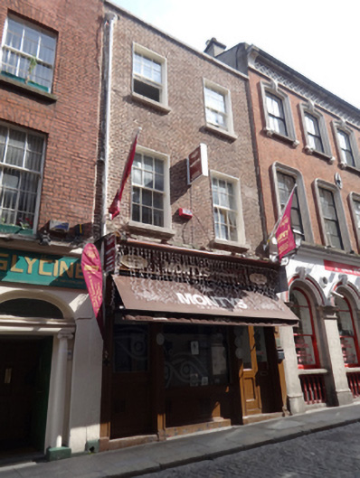 Montys of Kathmanduhouse · 88 yd
 Holy well in Unknown TownlandHoly well · 141 yd
 Tourist Information CentreVisitor information · 223 yd
 Dublin City HallHeritage attraction · 277 yd
 Battle of DublinMajor battlefield · 279 yd
 Dublin Castlegates/railings/walls · 312 yd
 Newcomen BankVisitor information · 323 yd
 CastleCastle, Anglo-Norman masonry castle · 337 yd
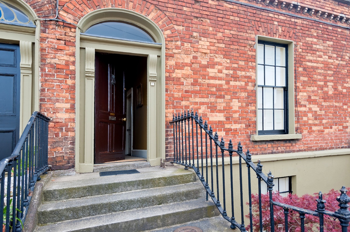 Habitation site in Unknown TownlandHabitation site · 378 yd
 Special Olympics MemorialMonument · 379 yd
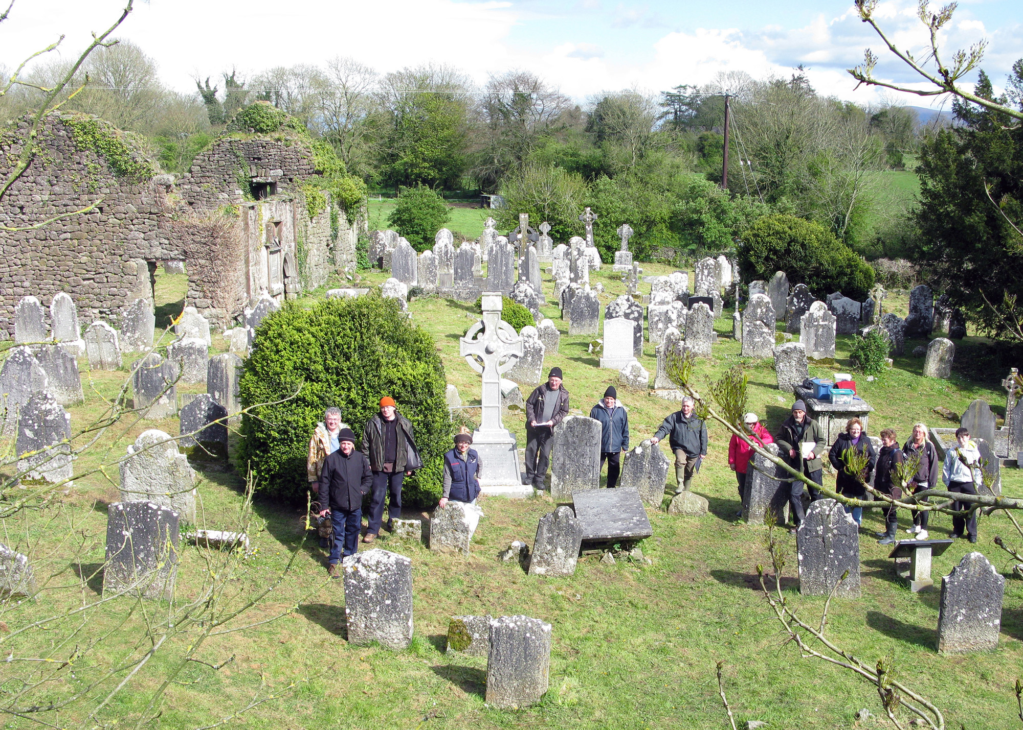 Graveyard in Unknown TownlandGraveyard · 410 yd
Other information
Photo: National Inventory of Architectural Heritage · Website use allowed for educational or private purposes with source credit