What is recorded here
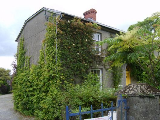
Detached three-bay two-storey farmhouse, occupied 1901, on a T-shaped plan with single-bay (single-bay deep) two-storey central return (east). Vacant, 1911. Sold, 1971. Resold, 1988. "Restored", 1989. Hipped gabled slate roof on a T-shaped plan centred on pitched slate roof (east) with clay ridge tiles, red brick Running bond off-central chimney stack having corbelled stepped capping supporting terracotta pots, and replacement uPVC rainwater goods on rendered eaves. Creeper- or ivy-covered rendered, ruled and lined walls. Segmental-headed central door opening with threshold, and concealed dressings having concave reveals framing timber panelled door having fanlight. Square-headed window openings with cut-granite sills, and concealed dressings framing six-over-six (ground floor) or three-over-six (first floor) timber sash windows. Interior including (ground floor): central hall retaining carved timber surrounds to door openings framing timber panelled doors; and carved timber surrounds to door openings to remainder framing timber panelled doors with timber panelled shutters to window openings. Set back from line of road in landscaped grounds with cut-granite piers to perimeter having pyramidal capping supporting flat iron gate.
A farmhouse representing an integral component of the nineteenth-century domestic built heritage of the outskirts of Camolin with the architectural value of the composition, one refronting a house marked on the first edition of the Ordnance Survey (surveyed 1839; published 1841), suggested by such attributes as the compact plan form centred on a restrained doorcase showing a simple radial fanlight; and the diminishing in scale of the openings on each floor producing a graduated visual impression. Having been well maintained, the elementary form and massing survive intact together with substantial quantities of the original fabric, both to the exterior and to the interior, thus upholding the character or integrity of the composition. Furthermore, adjacent outbuildings (extant 1839) continue to contribute positively to the group and setting values of a neat self-contained ensemble having historic connections with the Kelly family including John Kelly (d. 1911), 'Farmer late of Bayland Camolin County Wexford' (Calendars of Wills and Administrations 1911, 299; cf. 15609006).
This does not grant access. Most recorded buildings are privately owned; view them only from public ground unless the owner allows entry.
Places near here
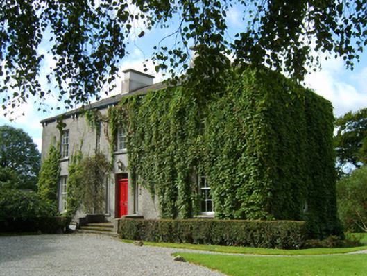 rectory/glebe/vicarage/curate's houserectory/glebe/vicarage/curate's house · 252 yd
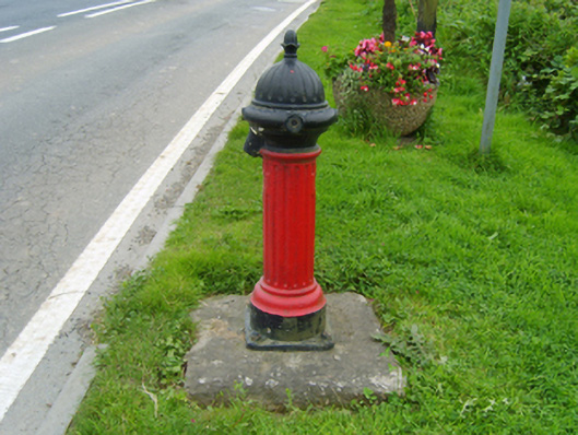 water pumpwater pump · 939 yd
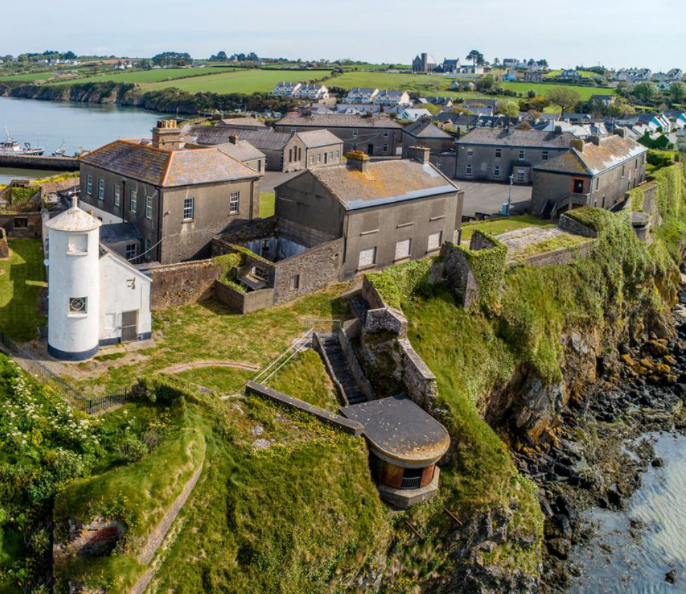 Enclosure in BolinaspickEnclosure · 1069 yd
 Enclosure in KilboraEnclosure · 1210 yd
 Milshoge RockMountain / peak · 1.4 mi
 Kilbora WoodForest · 1.6 mi
 Coolroe WoodForest · 1.7 mi
 Giants BedNamed rock · 2.4 mi
 Ferns Castle (in ruins)Castle, Anglo-Norman masonry castle · 2.6 mi
 Carrigroe HillMountain / peak · 2.7 mi
 CastleCastle, unclassified · 3.6 mi
 Father Murphy CentreHeritage attraction · 4.4 mi
Other information
Photo: National Inventory of Architectural Heritage · Website use allowed for educational or private purposes with source credit