What is recorded here
Located on a slight rise in a low-lying landscape. A subcircular or subrectangular cropmark (dims c. 37m E-W; c. 30m N-S) defined by a single continuous fosse feature is visible on aerial photograph (CUCAP: AVK 8). No feature is visible at ground level. It is clearly visible on Google Earth (14/07/2018).
The above description is derived from the published 'Archaeological Inventory of County Wexford' (Dublin: Stationery Office, 1996). In certain instances the entries have been revised and updated in the light of recent research.
Compiled by: Michael Moore
Date of revision: 17 September, 2019
The monument record does not grant public access. Check the route and ask the landowner before entering private land.
- What survives
- Recorded monument
Places near here
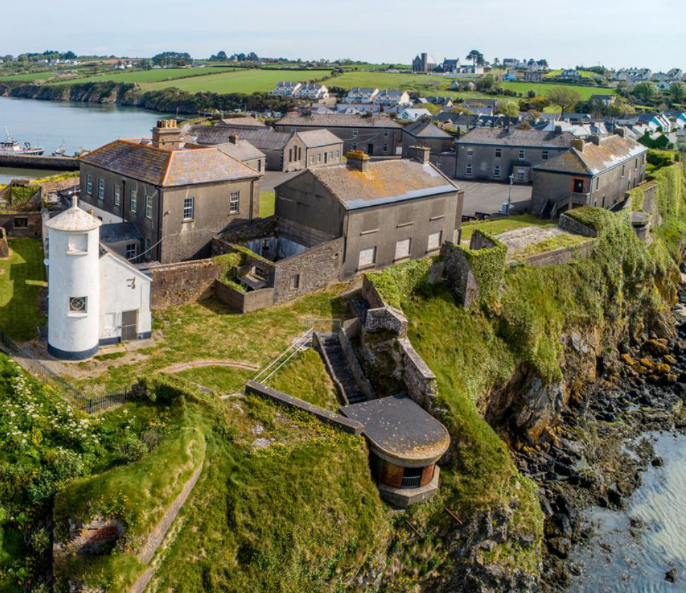 Enclosure in BolinaspickEnclosure · 610 yd
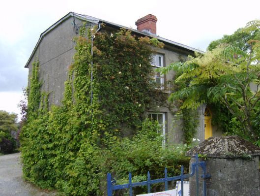 The Bayfarm house · 684 yd
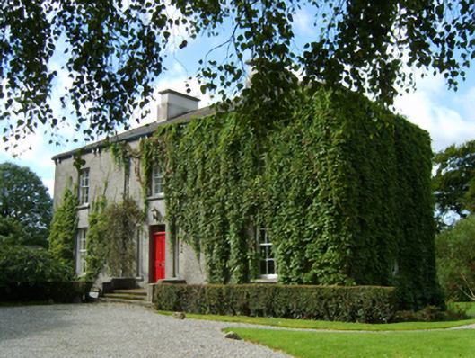 rectory/glebe/vicarage/curate's houserectory/glebe/vicarage/curate's house · 711 yd
 Enclosure in KilboraEnclosure · 1237 yd
 Milshoge RockMountain / peak · 1.4 mi
 Camolin WoodForest · 1.5 mi
 Kilbora WoodForest · 1.6 mi
 Giants BedNamed rock · 2.7 mi
 Ferns Castle (in ruins)Castle, Anglo-Norman masonry castle · 2.8 mi
 Carrigroe HillMountain / peak · 2.9 mi
 CastleCastle, unclassified · 3.8 mi
 Blue SchoolMemorial · 4.5 mi