
What is recorded here
Situated in a NW-SE valley with a stream c. 50m to the SW. The cropmark of a sub-rectangular area (dims. c. 45m N-S, c. 35m E-W) defined by a narrow fosse feature is visible on aerial photographs (MM 52) 19-22).
Compiled by: Michael Moore
Date of upload: 2 May, 2012
A local fairy fort (ringfort/rath); wider significance not recorded.
The monument record does not grant public access. Check the route and ask the landowner before entering private land.
- What survives
- Recorded monument
Places near here
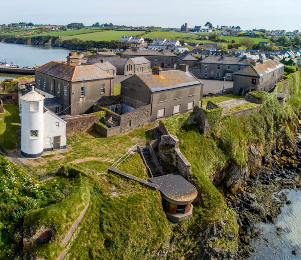 Enclosure in BolinaspickEnclosure · 859 yd
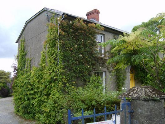 The Bayfarm house · 1210 yd
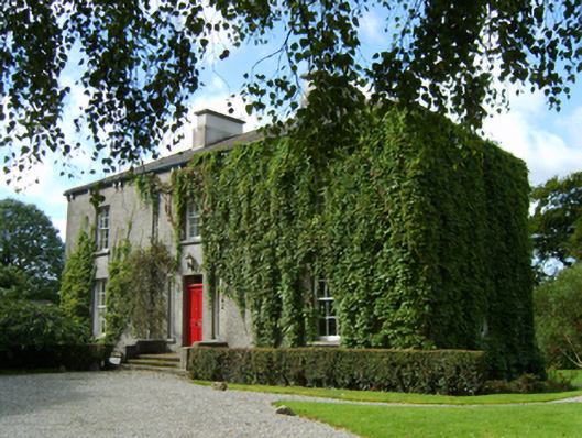 rectory/glebe/vicarage/curate's houserectory/glebe/vicarage/curate's house · 1452 yd
 Kilbora WoodForest · 1596 yd
 Coolroe WoodForest · 1.0 mi
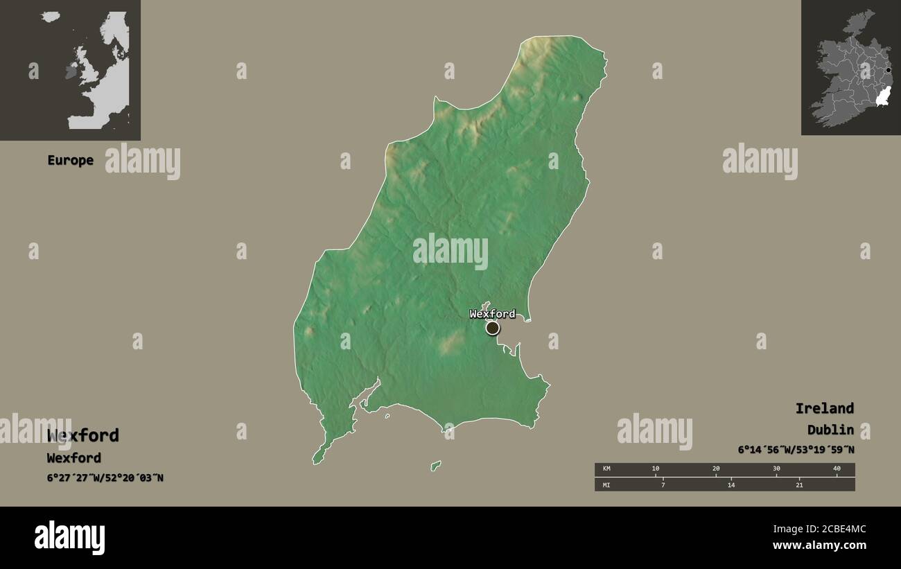 IndicatedFairy fort / earthen ringfort · 1.2 mi
 Milshoge RockMountain / peak · 2.1 mi
 Ferns Castle (in ruins)Castle, Anglo-Norman masonry castle · 2.1 mi
 Giants BedNamed rock · 3.0 mi
 CastleCastle, unclassified · 3.1 mi
 Carrigroe HillMountain / peak · 3.4 mi
 Blue SchoolMemorial · 4.6 mi
Other information
Photo: Credit not shown in the picture search · Rights wording not checked; contact us if this picture should be removed