What is recorded here
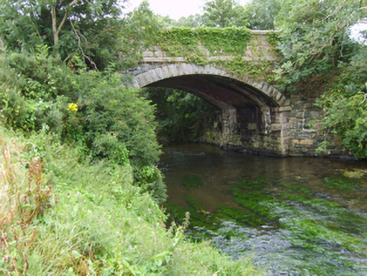
Single-arch road bridge over river, extant 1904. Part creeper- or ivy-covered tuck pointed snecked rock faced rubble stone walls with cut-granite chamfered stringcourses supporting parapets having lichen-spotted cut-granite coping. Single segmental arch with margined rock faced granite ashlar voussoirs centred on margined rock faced cut-granite keystones. Sited spanning Bann River with unkempt banks to river.
A bridge representing an integral component of the mid nineteenth-century civil engineering heritage of County Wexford with the architectural value of the composition, one attributable to James Barry Farrell (1810-93), County Surveyor for County Wexford (appointed 1840; retired 1891; cf. 15701405), confirmed not only by the robust rock faced surface finish demonstrating good quality workmanship, but also by the elegant "sweep" of the arch making a pleasing visual statement at a crossing over the Bann River.
This does not grant access. Most recorded buildings are privately owned; view them only from public ground unless the owner allows entry.
Places near here
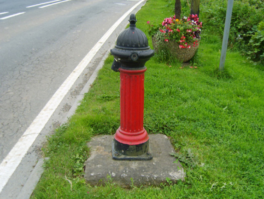 water pumpwater pump · 276 yd
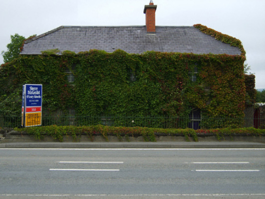 The Rookeryhouse · 404 yd
 Enclosure in NorrismountEnclosure · 767 yd
 Milshoge RockMountain / peak · 1506 yd
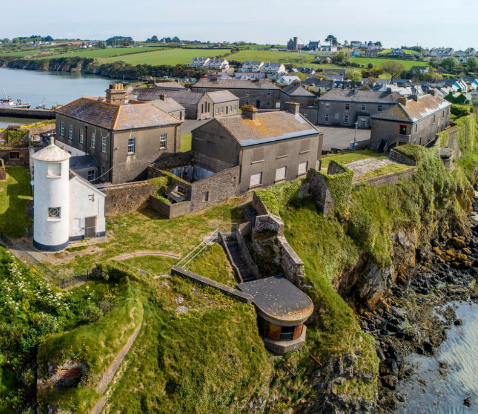 Enclosure in BolinaspickEnclosure · 1683 yd
 Camolin WoodForest · 1.8 mi
 Kilbora WoodForest · 2.1 mi
 Giants BedNamed rock · 2.2 mi
 Carrigroe HillMountain / peak · 2.4 mi
 Ferns Castle (in ruins)Castle, Anglo-Norman masonry castle · 3.2 mi
 CastleCastle, unclassified · 4.2 mi
 Father Murphy CentreHeritage attraction · 4.4 mi
Other information
Photo: National Inventory of Architectural Heritage · Website use allowed for educational or private purposes with source credit