
What is recorded here
Formerly spanning the Tang River, which forms the boundary with county Westmeath. Depicted on the Down Survey (1655-6) map of Abbeyshrule barony (NLI, MS 719) and named 'Tang Bridge' on the 1836 edition of the OS 6-inch map. Described in the OS Name Book as ‘a small bridge of 2 arches’ (OSNB, 1836-7, Noughaval parish, book 19, 363). Following the diversion of the river along a new course c. 60m to the S and the construction of another bridge, the public road was straightened and this bridge became obsolete. It is incorporated in the field boundary along the W side of the road. Its E face and just one of the arches, a segmental arch (Wth 2m; H 1m) of roughly cut voussoirs, are now visible. The arch has been filled in.
Compiled by: Caimin O'Brien
Date of upload: 28 May 2012
The monument record does not grant public access. Check the route and ask the landowner before entering private land.
- What survives
- Recorded monument
Places near here
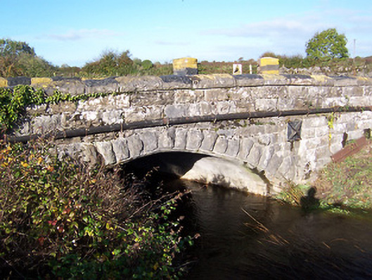 bridgebridge · 68 yd
 Partially hachuredCliff-edge fort · 117 yd
 Ecclesiastical site in Rathmore (shrule By.)Ecclesiastical site · 144 yd
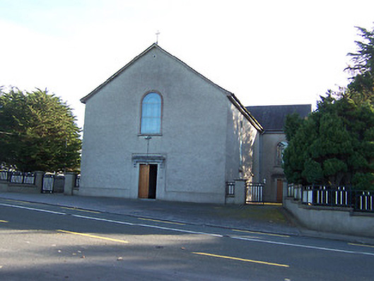 Catholic Church of the Immaculate Conceptionchurch/chapel · 1016 yd
 European BeechEuropean Beech · 1347 yd
 Noughaval CemeteryArchaeological place · 1.1 mi
 CastleCastle, motte · 1.8 mi
 Bawn in Cannorstown (hogan)Bawn · 2.3 mi
 Target WoodWood · 3.4 mi
 Newcastle WoodsForest · 3.5 mi
 Leveret IslandIslet · 4.2 mi
 Killinure BayBay · 6.2 mi
Other information
Photo: Credit not shown in the picture search · Rights wording not checked; contact us if this picture should be removed