
What is recorded here
This monument is now located on the N side of the Tang River in the modern County of Longford because the course of the Tang River was straightened in recent times. Depicted as a semi-circular-shaped enclosure standing on the S bank of the Tang River which formed the enclosing element on the NE side of the monument. No surface remains visible. Slight traces of the semi-circular shaped earthwork appears to be visible on Digital Globe aerial photograph where it is visible as a line of trees on the S side of the monument. The old course of the Tang River is clearly visible on the Digital Globe aerial photograph.
Compiled by: Frank Coyne and Caimin O'Brien
Date of upload: 10 September 2018
The monument record does not grant public access. Check the route and ask the landowner before entering private land.
- What survives
- Recorded monument
Places near here
 Tang BridgeBridge · 117 yd
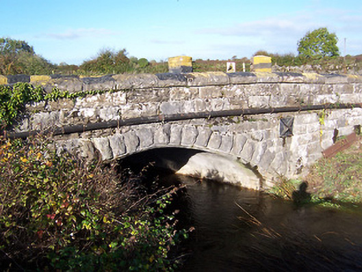 bridgebridge · 141 yd
 Ecclesiastical site in Rathmore (shrule By.)Ecclesiastical site · 254 yd
 Fulacht fia in Rathmore (shrule By.)Fulacht fia · 684 yd
 European BeechEuropean Beech · 1273 yd
 Noughaval CemeteryArchaeological place · 1.0 mi
 CastleCastle, motte · 1.8 mi
 Bawn in Cannorstown (hogan)Bawn · 2.3 mi
 Target WoodWood · 3.4 mi
 Newcastle WoodsForest · 3.5 mi
 Leveret IslandIslet · 4.3 mi
 Killinure BayBay · 6.2 mi
Other information
Photo: Credit not shown in the picture search · Rights wording not checked; contact us if this picture should be removed