What is recorded here
Situated on top of a natural rise in grassland, immediately NE of St. Catherine’s R.C. Church. The field fence running N-S which forms the townland boundary with Corbrack ran along the E perimeter of the site, but it appears to have been levelled recently. Monument depicted on the 1837 OS Fair Plan map as a circular-shaped enclosure with trees planted around the perimeter and in the interior, annotated on map as ‘Clogher Fort’. Depicted on the 1924 ed. OS 6-inch map as a circular-shaped enclosure (approx. diam. 35m E-W) with Belfry in S quadrant. This enclosing element of the monument has been levelled and is now visible as a slight scarp. An iron belfry stands in the centre of the site with a cross-slab underneath.
Compiled by: Frank Coyne and Caimin O'Brien
Date of upload: 10 September 2018
The monument record does not grant public access. Check the route and ask the landowner before entering private land.
- What survives
- Recorded monument
Places near here
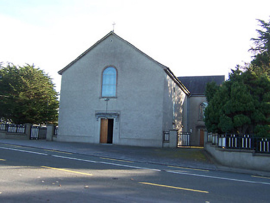 Catholic Church of the Immaculate Conceptionchurch/chapel · 56 yd
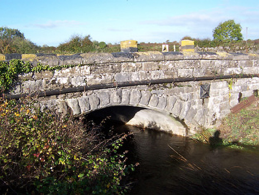 bridgebridge · 919 yd
 Partially hachuredCliff-edge fort · 985 yd
 Ecclesiastical site in Rathmore (shrule By.)Ecclesiastical site · 1063 yd
 Noughaval CemeteryArchaeological place · 1147 yd
 European BeechEuropean Beech · 1.2 mi
 Bawn in Cannorstown (hogan)Bawn · 1.9 mi
 Ballymulvey Ho.Castle, unclassified · 3.0 mi
 Target WoodWood · 3.7 mi
 Newcastle WoodsForest · 3.9 mi
 Guest ServicesVisitor information · 4.0 mi
 Craft WorkshopHeritage attraction · 4.1 mi