What is recorded here
Depicted on the Down Survey (1655-6) map of Abbeyshrule barony (NLI Ms. 719) crossing the Tang River, which forms the boundary with county Westmeath. Named 'Tang Bridge' on the 1836 edition of the OS 6-inch map. The river was subsequently diverted along a different course c. 60m to the S and another bridge was constructed. The area between the bridges has since been reclaimed and no visible surface trace of the earlier bridge survives.
Compiled by: Caimin O'Brien
Date of upload: 11 May 2012
The monument record does not grant public access. Check the route and ask the landowner before entering private land.
- What survives
- Recorded monument
Places near here
 Tang BridgeBridge · 3 yd
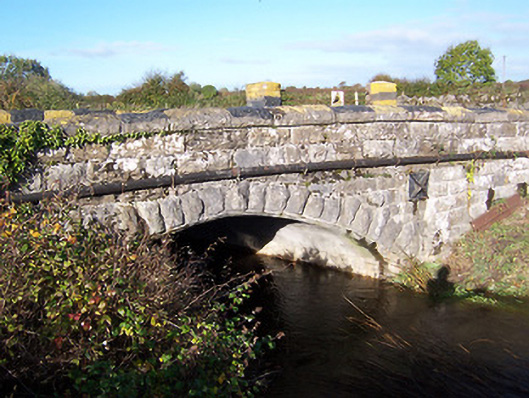 bridgebridge · 70 yd
 Partially hachuredCliff-edge fort · 119 yd
 Ecclesiastical site in Rathmore (shrule By.)Ecclesiastical site · 141 yd
 European BeechEuropean Beech · 1347 yd
 Noughaval CemeteryArchaeological place · 1.1 mi
 CastleCastle, motte · 1.8 mi
 Bawn in Cannorstown (hogan)Bawn · 2.3 mi
 Target WoodWood · 3.4 mi
 Newcastle WoodsForest · 3.5 mi
 Leveret IslandIslet · 4.2 mi
 Killinure BayBay · 6.2 mi