
What is recorded here
In pasture. Marked 'Gallaun' on first two editions O.S. map. No visible surface trace. According to local information stone (L c.7 ft; Wth c. 4 ft) known as "mass rock"; broken up and buried c. 1970.
The above description is derived from the published 'Archaeological Inventory of County Cork. Volume 1: West Cork' (Dublin: Stationery Office, 1992). In certain instances the entries have been revised and updated in the light of recent research.
Date of upload/revision: 14 January 2009
Linked to clandestine Catholic Masses during periods of religious persecution, the "mass rock" tradition reflects the resilience of faith in rural Ireland. Such sites were often associated with local saints or spiritual practices, though specific folklore for this site is not recorded.
The monument record does not grant public access. Check the route and ask the landowner before entering private land.
- What survives
- Recorded monument
Places near here
 Ballynough Bridgebridge · 907 yd
 Holy well in KnockanreaghHoly well · 995 yd
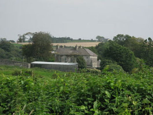 Brookfieldhouse · 1135 yd
 Carbury's WellSpring · 1346 yd
 Ballymodan Grave YdGraveyard · 1478 yd
 Cathal Hurley MemorialMemorial · 1.4 mi
 Bandon War MemorialMemorial · 1.4 mi
 Cottage Road WoodWood · 2.7 mi
 Dromkeen Wood Nature ReserveForest · 3.3 mi
 Marie LouiseWreck · 3.4 mi
 Carrighnassig Castle (Site of)Castle, unclassified · 3.6 mi
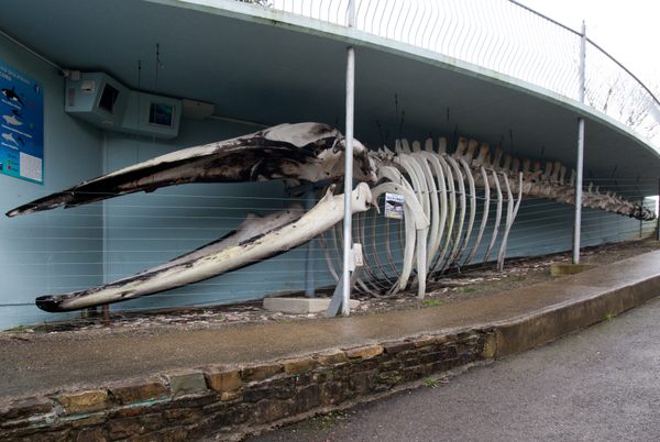 Kilbrittain WhaleHeritage attraction · 4.0 mi
Other information
Photo: Credit not shown in the picture search · Rights wording not checked; contact us if this picture should be removed