
What is recorded here
Double-arch road bridge, built c.1820, spanning river. Segmental-headed arches having dressed stone voussoirs, with excessive overgrowth south and north elevations. Rubble stone spandrels and parapet walls visible with recently repairs to west end of northern parapet wall. Render coping to north parapet, south parapet wall overgrown.
The use of locally sourced construction materials has helped the bridge to blend into its surroundings. Probably built by local stone masons, it stands as a testament to the skill of those involved in its construction, carrying substantially more traffic that its builders could have imagined.
From the Buildings of Ireland (National Inventory of Architectural Heritage) record 20911044
This does not grant access. Most recorded buildings are privately owned; view them only from public ground unless the owner allows entry.
Places near here
Photo credits
- National Inventory of Architectural Heritage
- Mike Searle, Geograph · CC BY-SA 2.0
- Neville Goodman, Geograph · Creative Commons Attribution-ShareAlike 2.0
- Maker named on the Wikimedia Commons picture page · Public domain
- Frabjousone, Wikimedia Commons · CC BY-SA 4.0
- Keith Phelan, Wikimedia Commons · CC BY-SA 4.0
- Kenneth Allen, Geograph · CC BY-SA 2.0
- Neville Goodman, Geograph · CC BY-SA 2.0
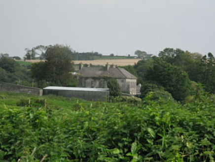 BrookfieldHouse · 232 yd
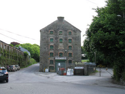 distillery1.0 mi
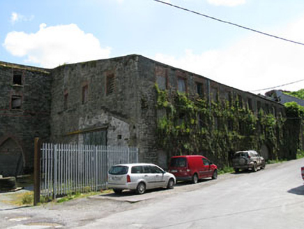 mill (water)1.0 mi
 TullylandFarm house · 1.1 mi
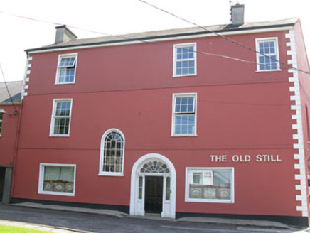 office1.1 mi
 Castle BernardRuins · 2.3 mi
 Kilpadder Burial Ground (Site of)Burial ground · 2.7 mi
 English holly6.4 mi
 Michael Collins MemorialMemorial · 8.4 mi
 Lios na gCon Ring FortArchaeological place · 9.1 mi
 Clonakilty Tourist OfficeVisitor information · 11 mi
 Clonakilty HarbourBay · 11 mi
More historic places in County Cork · All of County Cork
What do you know about this place?