What is recorded here
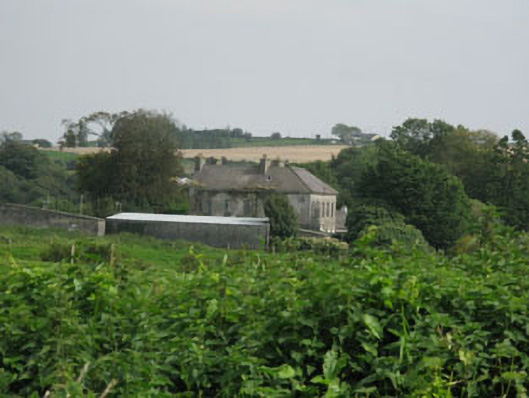
Detached five-bay two-storey house, built c.1780, extended c.1850 to rear to form U-plan. Hipped slate roof to main block with pitched slate roofs to rear returns (north-west, north-east) having rendered chimneystacks. Sections of slate-hanging to first floor of front (south) elevation and side (west) elevation of main block. Partially rendered rubble stone walls elsewhere. Square-headed window openings throughout having six-over-six and eight-over-eight pane timber sliding sash windows to first floor of rear return (north-west). Round-headed fanlight visible to doorway to front elevation. Farmyard to west. Square-profile roughcast rendered gate piers and rubbles stone side walls with wall-mounted cast-iron post box to west wall, installed c.1950.
A noteworthy substantial house, which would appear to have been altered and extended in the mid nineteenth century. From cartographic sources, it seems that the pair of rear returns were added post 1840. Though now in poor condition, it retains many historic features, including slate hanging and timber sliding sash windows which add to its character and charm.
From the Buildings of Ireland (National Inventory of Architectural Heritage) record 20911043
This does not grant access. Most recorded buildings are privately owned; view them only from public ground unless the owner allows entry.
Places near here
Photo credits
- National Inventory of Architectural Heritage
- Mike Searle, Geograph · CC BY-SA 2.0
- Neville Goodman, Geograph · Creative Commons Attribution-ShareAlike 2.0
- Maker named on the Wikimedia Commons picture page · Public domain
- Frabjousone, Wikimedia Commons · CC BY-SA 4.0
- Keith Phelan, Wikimedia Commons · CC BY-SA 4.0
- Kenneth Allen, Geograph · CC BY-SA 2.0
- Neville Goodman, Geograph · CC BY-SA 2.0
- Marathon, Wikimedia Commons · CC BY-SA 2.0
 Ballynough BridgeBridge · 232 yd
 TullylandFarm house · 1748 yd
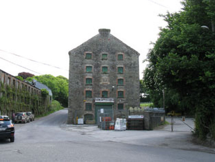 distillery1.0 mi
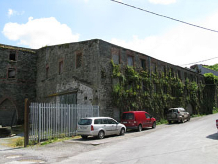 mill (water)1.0 mi
 Castle BernardRuins · 2.4 mi
 Kilpadder Burial Ground (Site of)Burial ground · 2.6 mi
 English holly6.6 mi
 Michael Collins MemorialMemorial · 8.4 mi
 Lios na gCon Ring FortArchaeological place · 9.3 mi
 Clonakilty Tourist OfficeVisitor information · 11 mi
 Clonakilty HarbourBay · 11 mi
 Michael Collins House MuseumMuseum · 11 mi
More historic places in County Cork · All of County Cork
What do you know about this place?