What is recorded here
Clearing in a dense coniferous plantation in County Donegal, Ireland. A tall man could stand inside the oval mound of stone and earth. At the highest point sits a smaller pile of stones, perhaps a marker for distance or direction. The conifers crowd close on every side, making the summit feel like a room built for measurement rather than memory.
On the summit of a prominent hill within a clearing in a dense plantation of coniferous trees. Approximately oval-shaped mound of stone and earth (dims. c.25m NE-SW; 18m NW-SE; H c.1.2m - 2.5m). The builders of this feature utilized the naturally-occurring contours of the hill on the NE and SW sides rendering it difficult to determine the circuit of the perimeter of the cairn. On the NW and SE sides it is somewhat better defined. The sides and most of the top of the cairn have a covering of skotch grass and heather. The top is relatively flat. At the highest point is a well-defined pile of stones of varying sizes (max. dims. 5.5m NW-SE; 4m NE-SW; H c.1.2m - 0.3m). There are two shallow depressions in close proximity to this. Probing with a ranging rod revealed that the sides and the bases of these were constructed of stone.
DG087-010----_01.jpg: Photo of cairn showing exposed stones.
DG087-010----_02.jpg: Photo cairn showing exposed stones.
Compiled by: Patrick F. O'Donovan
Date of upload 08 July 2015
The monument record does not grant public access. Check the route and ask the landowner before entering private land.
- What survives
- Recorded monument
Places near here
 Lismullyduff MountainMountain / peak · 17 yd
 Tober BrideHoly well · 1601 yd
 Enclosure in Meenreagh (gleneely Ed)Enclosure · 1.5 mi
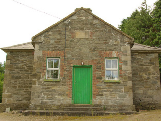 schoolschool · 2.8 mi
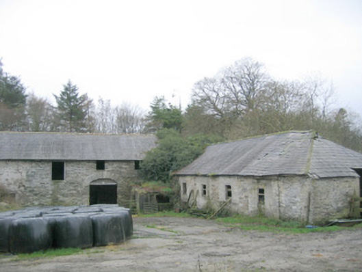 outbuilding, walled gardenoutbuilding, walled garden · 3.0 mi
 Castle (Site of)Castle, unclassified · 4.0 mi
 Site of CastleCastle, unclassified · 4.0 mi
 Drumboe WoodForest recreation place · 4.1 mi
 Dreenan WoodWood · 4.3 mi
 Cross HillMountain / peak · 5.3 mi
 Ash IslandIslet · 10 mi
 Ash IslandsIslet · 10 mi