What is recorded here
From OpenStreetMap (© OpenStreetMap contributors) n3169055091
Places near here
Photo credits
- National Inventory of Architectural Heritage
- Maker not stated on source page, www.pinterest.com
- Darrin Antrobus, Geograph · CC BY-SA 2.0
- Wikimedia Commons contributor shown on the public file page · Public domain
- Maker not stated on source page, en.wikipedia.org
- Maker not stated on source page, commons.wikimedia.org
- Maker not stated on source page, www.flickr.com
- Kenneth Allen, Geograph · Creative Commons Attribution-ShareAlike 2.0
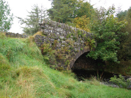 bridge2.0 mi
Explorer Tom Bridge in Croaghonagh has dressed stone voussoirs so fancy they’re basically wearing a tuxedo to a muddy field party…
 Holy well in SlievedooHoly Well · 2.4 mi
Explorer Tom Holy well in Slievedoo thinks the weather has a personal grudge against its hydration levels. It’s probably the driest…
 Lough HillMountain / peak · 3.1 mi
Explorer Tom Right then, let’s have a look at Lough Hill in County Donegal. I spotted something white on the hill over Lough Mourne…
 BarnesmoreMountain / peak · 3.3 mi
Explorer Tom Barnesmore has been carrying the wrong name tag. Mountaineering Ireland calls this summit Croaghonagh and says…
 Old BarracksBarracks · 3.6 mi
Explorer Tom Old Barracks was built to guard Barnesmore Gap from highwaymen and brigands. It’s just fragmentary remains now, but…
 Wedge tomb in CroaghonaghWedge tomb · 3.6 mi
Explorer Tom Wedge tomb in Croaghonagh was only unearthing in 2011 to make room for a dam, revealing a gallery paved with white lake…
 Holy well in TruskHoly well · 3.8 mi
Explorer Tom Holy well in Trusk was recorded by Ó Muirgheasa in 1936 as being in the mountains east of Barnesmore. He noted that…
 Portal tomb in CarrickmagrathPortal tomb · 4.1 mi
Explorer Tom This Portal tomb in Carrickmagrath stayed hidden in the forest until 1988, sitting on a rocky ledge above the River…
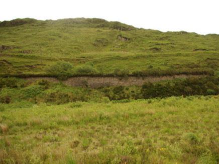 viaduct, bridge, embankment4.3 mi
Explorer Tom Viaduct, Bridge, Embankment in Keadew Upper marks the old railway route into the Barnesmore Gap. The line opened…
 Church of the AscensionChurch/chapel · 4.4 mi
Explorer Tom Church of the Ascension has a secret club! The stones outside mark servants of Lord Lifford, not just the nobles.…
 Standing stoneStanding stone, pair · 4.6 mi
Explorer Tom Standing stone is a pair on the almost inaccessible slopes of Croaghnameal mountain, marked as Carrickahattan on older…
 Meencarrigach National SchoolSchool · 4.6 mi
Explorer Tom Meencarrigach National School is built from such solid stone that I’m pretty sure a local legend says a giant used it…
More mountains and hills in County Tyrone · All of County Tyrone

What do you know about this place?Tap to add a comment or ask a question