
What is recorded here
Marked on the OS 6-inch maps as Toberbride. It is known locally as Tobar Aibheog and has been modernised. Described by Ó Muirgheasa in 1936 as 'There is a Holy Well near Lismulduff N. S., parish of Killygordon. It is called Tobar Avig, with accent on the v' (Ó Muirgheasa 1936, 155). (Ó Muirgheasa No. 75 and O'Duffy 1968, 274-288)
The above description was derived from the 'Archaeological Survey of County Donegal. A description of the field antiquities of the County from the Mesolithic Period to the 17th century.' Compiled by: Brian Lacey with Eamon Cody, Claire Cotter, Judy Cuppage, Noel Dunne, Vincent Hurley, Celie O'Rahilly, Paul Walsh and Seán Ó Nualláin (Lifford: Donegal County Council, 1983). In certain instances the entries have been revised and updated.
Compiled by Caimin O'Brien
Date of upload/revision: 03 November 2011
Linked to Saint Bride (Brigid), the well is associated with traditional Celtic worship and is known for its healing properties, particularly for ailments of the eyes and general well-being. The name Tobar Aibheog suggests a connection to perpetual or living water, a common feature of holy wells dedicated to Saint Brigid.
The monument record does not grant public access. Check the route and ask the landowner before entering private land.
- What survives
- Recorded monument
Places near here
 Lismullyduff MountainMountain / peak · 1613 yd
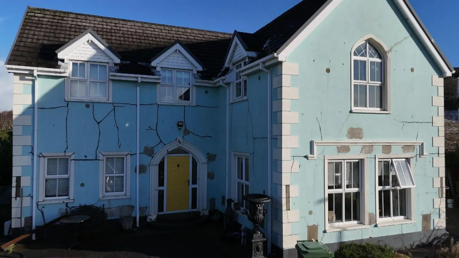 Enclosure in DrumavishEnclosure · 1.8 mi
 outbuildingoutbuilding · 2.1 mi
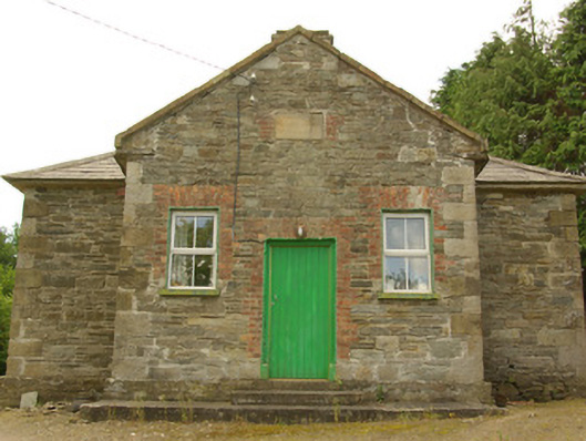 schoolschool · 2.2 mi
 Garvagh Pullans Court TombCourt tomb · 2.3 mi
 Site of CastleCastle, unclassified · 3.2 mi
 Castle (Site of)Castle, unclassified · 3.3 mi
 Drumboe WoodForest recreation place · 3.9 mi
 Dreenan WoodWood · 4.2 mi
 Lough HillMountain / peak · 6.2 mi
 Ash IslandIslet · 11 mi
 Ash IslandsIslet · 11 mi
Other information
Photo: Credit not shown in the picture search · Rights wording not checked; contact us if this picture should be removed