DDiscover AloneMapAbout

Sweathouse in Oxpark

Sweathouse

The monument record does not grant public access. Check the route and ask the landowner before entering private land.

What do you know about this place?Tap to add a comment or ask a question

What you write will be public.

What is recorded here

Situated on the E side of a small stream running through the centre of the eco-village, 180m W of Cloghjordan House (TN016-001003-) in the historic village of Cloghjordan (TN016-001----). Geophysical survey carried out under licence No. 06R020 which required archaeological test trenching. Subsequent archaeological…

Read the whole record
Situated on the E side of a small stream running through the centre of the eco-village, 180m W of Cloghjordan House (TN016-001003-) in the historic village of Cloghjordan (TN016-001----). Geophysical survey carried out under licence No. 06R020 which required archaeological test trenching. Subsequent archaeological test trenching of these anomalies by Emer Dennehy on behalf of Margaret Gowen & Co. Ltd. in 2006 under licence number 06E0257 confirmed the remains of a possible sweathouse (Dennehy 2009, 490). The monument has been fully excavated. The test excavation results were summarised by Dennehy (2009, 490-1) as following; 'The proposed development at Cloughjordan comprises a 67-acre site within which a ‘sustainable village’ is to be constructed. A total of 133 mixed residential units will be constructed on the southern twenty acres of the site and 30% of the development site will be used for woodlands with the remaining 40% used for agricultural activity. The site is in a rich archaeological and historical environment, with the three RMP sites located within or adjacent to the development. These sites, namely the moated site (TN011–028----) and Cloughjordan Castle (TN016–001----), attest the Anglo-Norman occupation of the area. The enclosure site [TN011-029----], though levelled, is illustrated on cartographic sources and was perceived to be medieval in date. However, a late Bronze Age/Early Iron Age ring-barrow (TN011-038---) was identified immediately adjacent to the enclosure and now suggests the enclosure could be prehistoric. Initial investigations involved a detailed geophysical survey (06R020) and this was followed by an archaeological impact assessment targeting known and suspected areas of archaeological activity. A total of 2184 linear metres of trenches were opened, identifying five archaeological sites that would be impacted upon by the development. The area of the enclosure was excluded from the testing programme. The five sites identified were two fulachta fiadh (Sites 1 and 2), 1 burnt spread (Site 3), a post-medieval blast furnace (possible) (Site 4) [TN016-008----] and a ring-barrow (Site 5) [TN011-039----]. Sites 4 and 5 were excluded from the development and are to be preserved in situ. Sites 1–3 were excavated over a four-week period in June/July 2006. Site 1 - Located 10m to the south of a small stream, this site presented itself as a circular mound of fire-cracked limestones in a charcoal matrix measuring 19.5m north–south by 16.7m. Upon excavation it was established that the mound was extremely shallow, surviving to a maximum depth of just 0.2m. It was composed of multiple burnt limestone and sandstone deposits concentrated in the north and east of the site. It overlay a large sub-rectangular trough and the remains of a circular hut site. The stratigraphy of the site indicates that the trough and hut site were contemporary and that the site functioned as a sweathouse. The site was extremely well organised; hearths were located at a distance of 3m to the south of the hut, stockpiles were located to the east, while debris was mounded in the north and west. The hut was sub-circular in plan with internal measurements of 6.5m north–south by 5.5m (7m by 6m externally). It had two entrances, one in the south-east the other in the south-west, each defined by a pair of large post-holes. No internal roof supports were identified, indicating that the hut did not have a permanent roof structure but rather one constructed from woven matting and/or hides. The trough was located in the south-west of the hut 1m from the entrance-way. It was sub-rectangular in plan (2.8m north–south by 1.8m by 0.81m); the base was lined with an oak plank. Three phases of use for the hut site were identified; it appears to have been deliberately dismantled on cessation of use'.

From the National Monuments Service (Archaeological Survey of Ireland) record TN016-009

Places near here

Photo credits
  • National Inventory of Architectural Heritage
  • Picture: Discover Ireland
  • kevin higgins, Geograph · Creative Commons Attribution-ShareAlike 2.0
  • Maker not stated on source page, www.benchwarmers.ie
  • Maker not stated on source page, www.pinterest.com
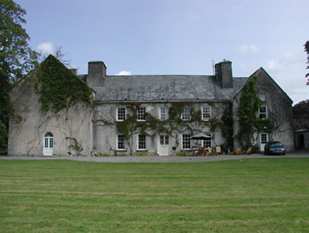
Cloghjordan HouseCountry house · 220 yd

Explorer Tom Cloghjordan House in Oxpark, County Tipperary has a barley-twist staircase that looks like it’s trying to escape the…

R. O'HaraHouse · 240 yd

Explorer Tom R. O'Hara in Townfields was built as part of a pair, probably because its neighbor was too shy to stand alone on Main…

GalbraithHouse · 269 yd

Explorer Tom Galbraith in Townfields has a plan for retirement: become a really nice shopfront on Main Street with a chamfered…
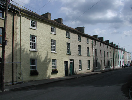
barracks279 yd

Explorer Tom Barracks in Townfields is hiding a biscuit tin somewhere behind all those brick walls, I just know it. It used to be…
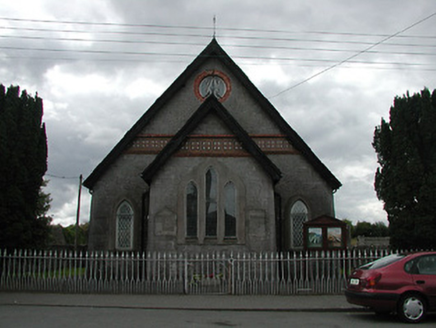
Cloughjordan Methodist ChapelChurch/chapel · 293 yd

Explorer Tom Cloughjordan Methodist Chapel holds a dance once a year that goes absolutely too far, usually involving the yew trees…
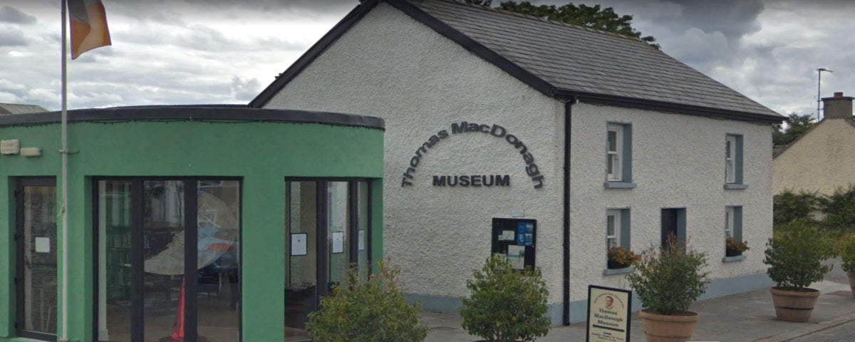
Thomas MacDonagh Heritage CentreMuseum · 319 yd

Explorer Tom Thomas MacDonagh Heritage Centre sits in Cloughjordan, the town that knew the poet before the history books made him a…
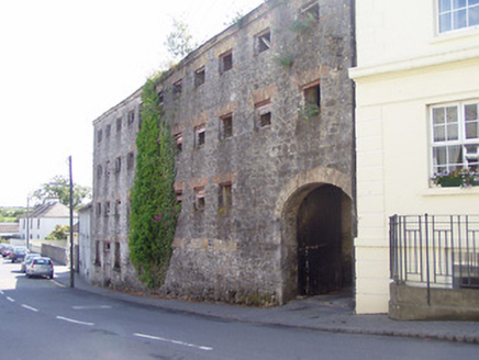
store/warehouse323 yd

Explorer Tom The store in Townfields is guarding secrets from Cloughjordan’s industrial past with the intensity of a dragon hoarding…

Saint Kieran's Church (Modreeny)Church/chapel · 326 yd

Explorer Tom Saint Kieran's Church in Modreeny has a New Year’s resolution to stop its spire from poking fun at everyone else. It…

bank/financial institution333 yd

Explorer Tom Bank in Townfields on Step Road was once ruled by a goat who understood interest rates better than any human teller…

steward's house341 yd

Explorer Tom Steward's house in Townfields would probably buy a yacht with a lotto win and name it 'The Asymmetry'. It sits at the…

MacDonagh Park, Kilruane MacDonaghsGAA ground · 542 ydCastle in ruinsBawn · 1.2 mi

Explorer Tom Bawn in Modreeny was built on a bargain that nobody remembers the details of now. It’s just scattered stones pretending…

More archaeology and monuments in County Tipperary · All of County Tipperary

Add to this placeAdd a picture Add a detailed tip Add a story

Explore the map1,095,414 places to discover

Next place · or swipeCloghjordan House