
What is recorded here
Located in the N face of a flat-bottomed quarry (dims c. 20m N-S; c. 10m E-W; D 1.5m at N to c. 4m at W) which is on the W side of a N-S road. The quarry is marked on the 1837 and 1915 eds of the OS 6-inch map but the sweat-houses are not. A rectangular house (ext. dims c. 10m E-W; c. 3.5mN-S) was built against the N wall of the quarry but this is now reduced to the base of the walls (max. H 1m). There are two sweat-houses placed c. 4m apart. The W structure is tear-shaped (int. dims 1.3m N-S; 0.95m E-W; H 0.6m), roofed with a large capstone, and has a small rectangular opening (Wth 0.45m; H 0.55m). The E structure has a lintelled doorway (Wth 0.4m; H 0.75m) and opens into a rectangular chamber (max. dims 1.6m N-S; 1.07m E-W; H 1m) roofed with two large capstones.
Compiled by: Michael Moore
Date of upload: 29 April, 2015
The monument record does not grant public access. Check the route and ask the landowner before entering private land.
- What survives
- Recorded monument
Places near here
 KilnKiln, corn-drying · 666 yd
 IndicatedFairy fort / earthen ringfort · 844 yd
 St Bridgets WellHoly well · 1634 yd
 Drum ChurchChurch · 1.0 mi
 Castle QuarterCastle, unclassified · 2.8 mi
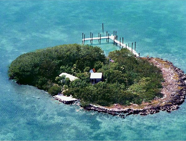 Charlie's IslandIslet · 3.2 mi
 Bastion GalleryGallery · 3.2 mi
 Siege of Athlonesiege · 3.3 mi
 Historic Town - Athlone Castle & Church of St Peter and PaulVisitor information · 3.3 mi
 Athlone CastleVisitor information · 3.3 mi
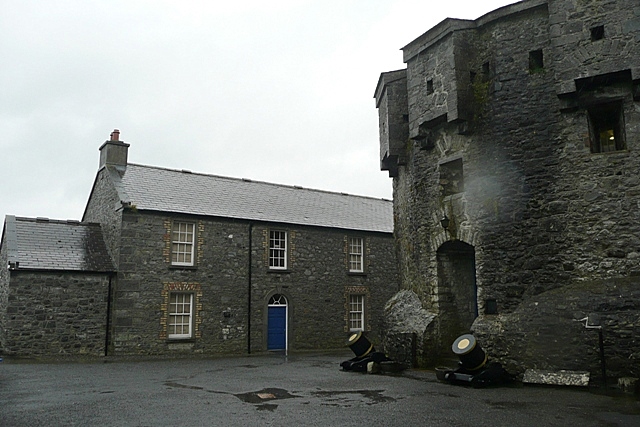 CastleCastle, unclassified · 3.3 mi
Other information
Photo: Credit not shown in the picture search · Rights wording not checked; contact us if this picture should be removed