
What is recorded here
Listed in both the SMR (1989) and the RMP (1995) and classified 'Sweathouse'. Not shown on any edition of the OS 6-inch map. In poorly drained pasture, at the base of a gentle N-facing slope. The remains consist of a semicircular depression (diam. c. 3.3m; D 0.7m) lined with stones. There is a modern field drain to NE and a field boundary to E. This is probably post-1700 AD in date.
Compiled by: Archaeological Survey Unit, UCC
Date of upload: 13 December 2011
Linked to traditional sweat-house rituals, possibly used for physical cleansing and healing. Sweathouses were often associated with saintly sites or folk practices involving heat, water, and prayer for cure of ailments such as rheumatism.
The monument record does not grant public access. Check the route and ask the landowner before entering private land.
- What survives
- Recorded monument
Places near here
 Cliff-edge fort in ArnasbrackCliff-edge fort · 278 yd
 Castle (in Ruins)Castle, tower house · 459 yd
 Cross in KilrossCross · 572 yd
 CastleCastle, motte · 676 yd
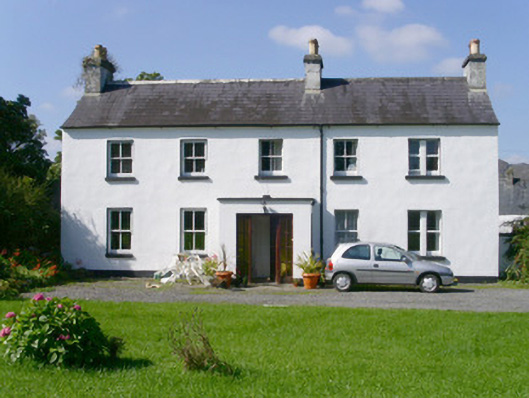 Arnasbrack Househouse · 737 yd
 Giants GraveArchaeological place · 830 yd
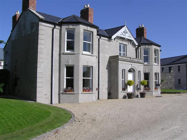 Castle Darganhouse · 1044 yd
 Field MapleField Maple · 2.1 mi
 European ashEuropean ash · 2.3 mi
 Battle of Collooneybattle · 2.9 mi
 Teeling MonumentMemorial · 2.9 mi
 Glynn IslandIslet · 3.0 mi
Other information
Photo: Credit not shown in the picture search · Rights wording not checked; contact us if this picture should be removed