
What is recorded here
Included in the SMR (1989) as an unclocated monument with the classification 'Sweathouse'. Not listed in the RMP (1995). Not marked on any edition of the OS 6-inch map. In a wood, at the base of a slope on the bank of a stream. An overgrown semicircular drystone structure built in a semicircular area dug out of the side of the hill. It has an oval interior (int. 2.2m x 1.2m; H 2.2m) with a hole through the top of the corbelled roof. The entrance (Wth 0.55m; H 0.7m) faces the stream. Two lines of low stones form a rough passage (L 1.8m; Wth 1m) between the stream and the entrance. This is probably post-1700 AD in date.
Compiled by: Archaeological Survey Unit, UCC
Date of upload: 11 January 2011
The monument record does not grant public access. Check the route and ask the landowner before entering private land.
- What survives
- Recorded monument
Places near here
 Church (in Ruins)Church · 1011 yd
 Grave YardGraveyard · 1031 yd
 MoteCastle, motte · 1042 yd
 Ritual siteRitual site, holy/saint's stone · 1048 yd
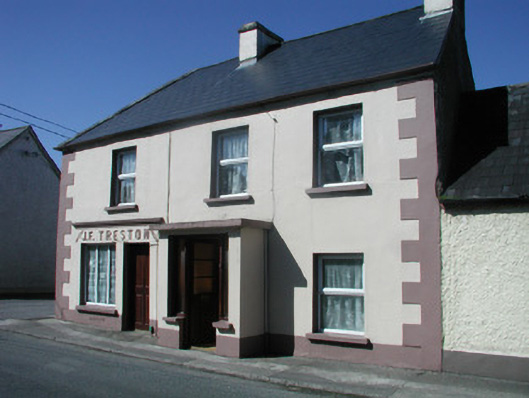 J.F. Trestonhouse · 1.3 mi
 CastleCastle, unclassified · 1.4 mi
 SlishwoodWood · 1.6 mi
 Cullentra ForestForest · 1.9 mi
 Trawane BayBay · 2.0 mi
 InnisfreeIslet · 2.0 mi
 Slishwood Island WestIslet · 2.3 mi
 Bunowen BayBay · 2.4 mi
Other information
Photo: Credit not shown in the picture search · Rights wording not checked; contact us if this picture should be removed