What is recorded here
Reported (28-9-2021) by Mr Aidan Harte, Project Co-ordinator, Leitrim Sweathouse Project. Depicted and named ‘Sweat Ho.’ on the first edition (c.1835) of the O.S. 6-inch map where it is shown on the E-edge of a farm lane c. 16m SE of a dwelling house and separated from the dwelling by small outbuildings. A limekiln is…
Read the whole record
From the National Monuments Service (Archaeological Survey of Ireland) record LE036-049
Places near here
Photo credits
- Terry Williams / Leitrim Observer, www.leitrimobserver.ie
- Maker not stated on source page, www.pinterest.com
- National Inventory of Architectural Heritage
- Maker not stated on source page, govisity.com
- Maker not stated on source page, monumentalireland.ie
- Maker not stated on source page, en.wikipedia.org
- Maker not stated on source page, commons.wikimedia.org
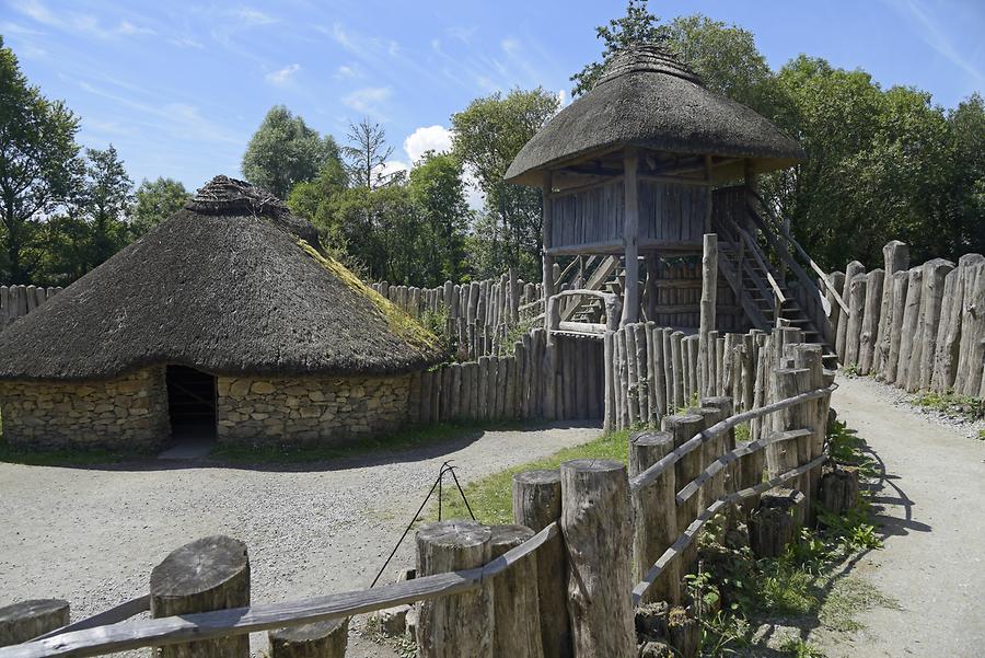
- Oliver Dixon, Wikimedia Commons · CC BY-SA 2.0
- Maker not stated on source page, www.alamy.com
- Maker not stated on source page, global-geography.org
 Pairc Gortleitreach, Gortletteragh GAAGAA ground · 1.2 mi
 Stone sculpture in KiltycreevaghStone sculpture · 1.3 mi
Explorer Tom Stone sculpture in Kiltycreevagh is famous for the most dramatic thing that ever happened there: absolutely nothing at…
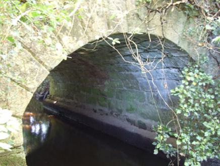 bridge1.4 mi
Explorer Tom Bridge in Kiltycreevagh is hiding under some vegetation like a shy artist who doesn’t want to be seen. It’s made of…
 Portal tomb in AnnaghmorePortal tomb · 1.4 mi
Explorer Tom Portal tomb in Annaghmore has strict rules for visitors: no shouting and no touching the roofstone. It’s tucked into…
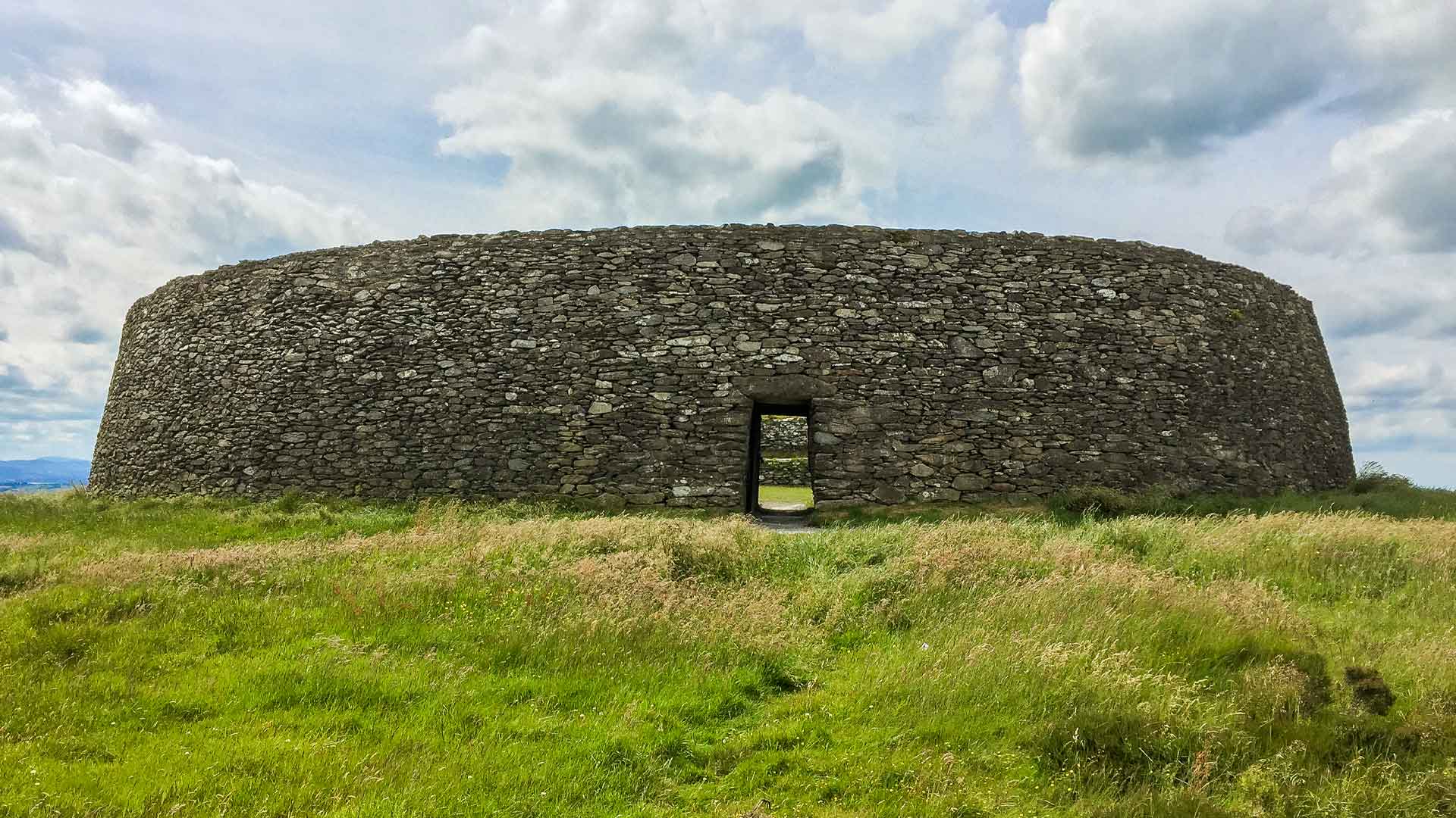 Fairy fort / earthen ringfort in DrumgraniaFairy fort / earthen ringfort · 1.9 mi
Explorer Tom Fairy fort / earthen ringfort in Drumgrania spends all its time rearranging its own dirt when nobody is watching, like…
 Standing stone in DrumconnyStanding stone · 2.0 mi
Explorer Tom Standing stone in Drumconny started from a bet two lads made in the pub. One said he could move it, the other said he…
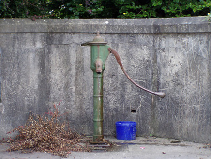 water pump2.0 mi
Explorer Tom Water pump in Kiltycreevagh would tell you after three pints that it once saw a leprechaun lose his hat here. It’s…
 Ballinamuck New CemeteryCemetery · 2.0 mi
Explorer Tom Ballinamuck New Cemetery is run by a terrier named Buster who barks at anyone wearing sensible shoes. He’s in charge…
 Battle of BallinamuckMajor battlefield · 2.4 mi
Explorer Tom The Battle of Ballinamuck was where French soldiers met Irish rebels and things got a bit messy with the shooting and…
 Mapped graveyardGraveyard · 2.4 mi
Explorer Tom Mapped graveyard hosted a dance that went so far that the floorboards are still humming with the bass from decades ago.…
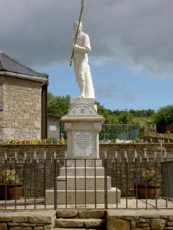 1798 MonumentMonument · 2.4 mi
Explorer Tom This 1798 Monument in Shanmullagh depicts a wounded pike man who is definitely taking a nap when nobody is looking…
 RingFortFort · 3.4 mi
Explorer Tom RingFort was designed by a mother-in-law who wanted to keep the son-in-law out permanently and succeeded brilliantly.…
More historic places in County Leitrim · All of County Leitrim

What do you know about this place?Tap to add a comment or ask a question