What is recorded here
Magic and myth are not the same. The chamber is a visible chamber. The claim is a complete true claim. The difference is a living difference. The chamber may contain more than it shows. That is not the same as pretending the chamber is empty.
Located at the S end of a NNW-SSE drumlin ridge. This is a grass and scrub-covered circular area (diam. 40.1m E-W; 36.6m N-S; int. dims 36m E-W; 28m N-S) defined by an overgrown earthen bank (Wth of base 5-7m; int. H 0.6-1m; ext. H 1.8-2.2m) and a recut external fosse (Wth of top 6-8.3m; Wth of base 2.2-3.5m; ext. D 0.8-1.3m). Some of the original fill of the fosse can be seen as a berm (Wth 1m) at the external base of the bank E-S. The entrance (Wth of base 2.2m) and causeway (Wth of top 4.4m) are at S.
The above description is derived from 'The Archaeological Inventory of County Leitrim' compiled by Michael J. Moore (Dublin: Stationery Office, 2003). In certain instances the entries have been revised and updated in the light of recent research.
Compiled by: Michael Moore
Date of upload: 23 September 2008
Amended: 7 January 2020
The monument record does not grant public access. Check the route and ask the landowner before entering private land.
- What survives
- Recorded monument
Places near here
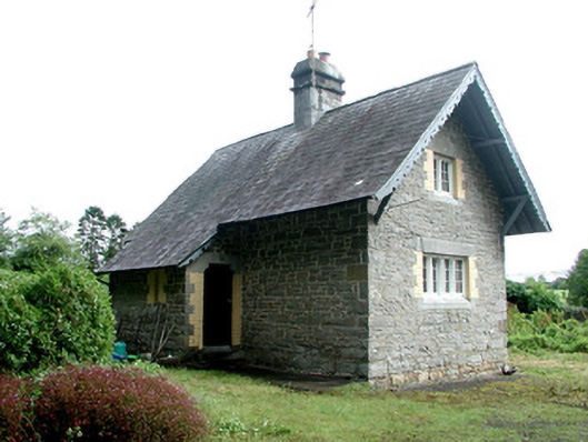 Lough Rynn Housegate lodge · 1582 yd
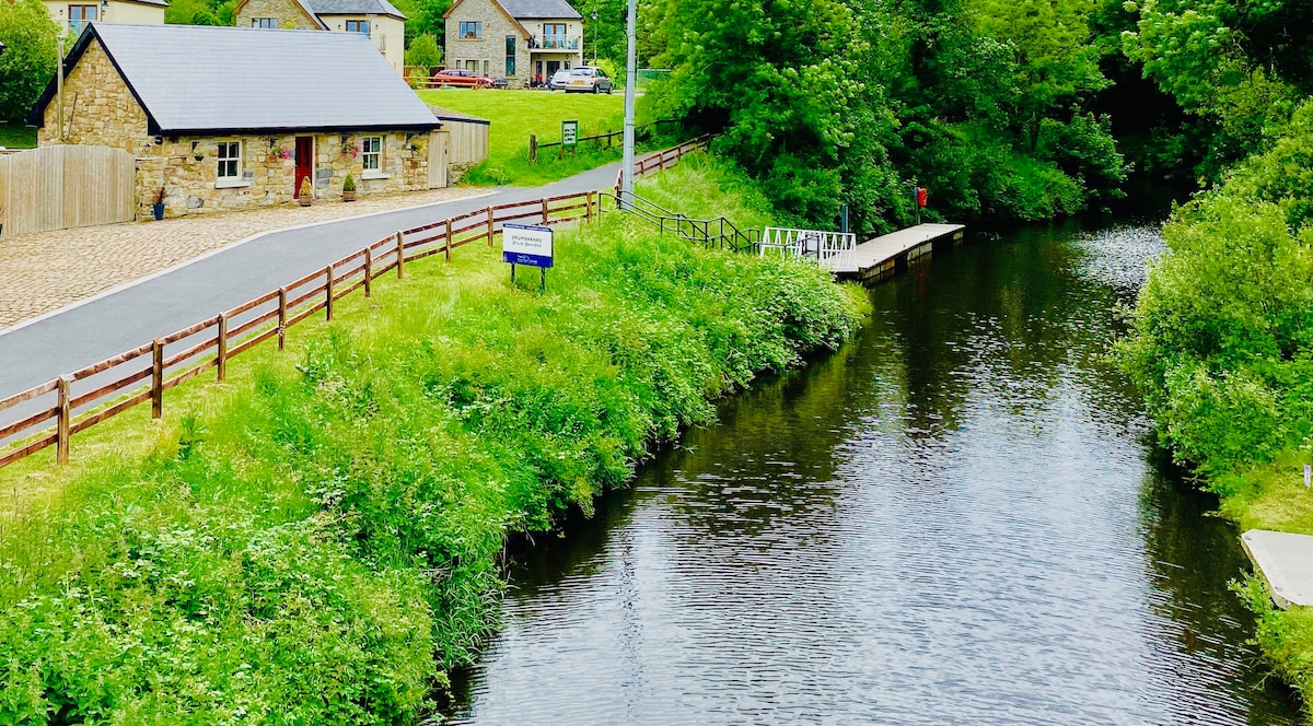 Holy WellHoly well · 1.0 mi
 Mass-rock in Drumgownagh (carrigallen By.)Mass-rock · 1.0 mi
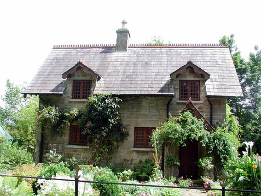 The Cottageworker's house · 1.3 mi
 OratoryCastle, tower house · 1.3 mi
 Native Woodland Trust: Farnaght ReserveWood · 1.9 mi
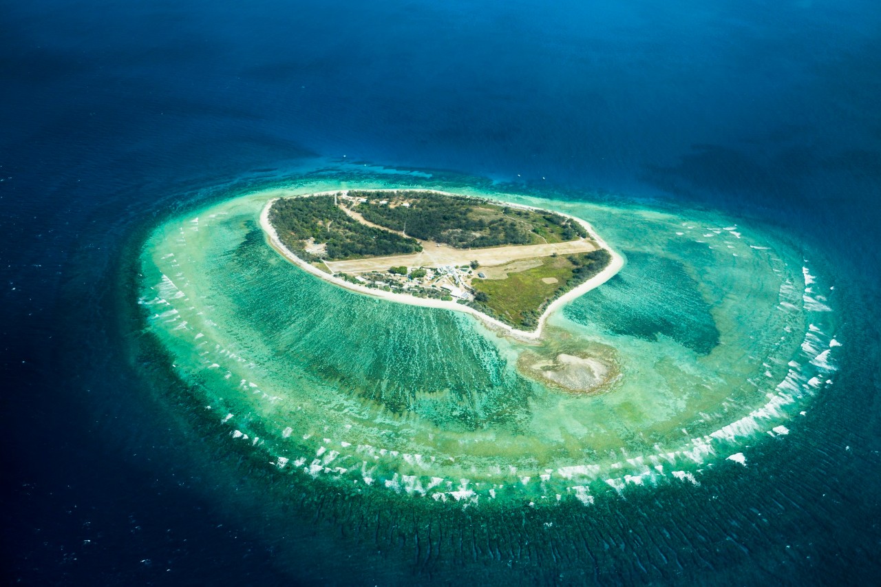 Lady Elizabeth's IslandIslet · 1.9 mi
 Duck IslandIslet · 1.9 mi
 Holm OakHolm Oak · 2.0 mi
 CastleCastle, tower house · 2.1 mi
 Giant's GraveArchaeological place · 2.3 mi
 Battle of BallinamuckMajor battlefield · 3.6 mi