What is recorded here
Calluragh Burial Ground in Lomanagh North holds small markers for children beneath oak and holly on a ridge above the Sneem river. A sundial is said to hide near the stone wall, though it has defeated every search. The missing dial turns the old burial place into a puzzle, as if time itself had stopped sharing one of its marks.
Calluragh Burial Ground KE099-003---- is located on a broad ridge in rough, uncultivated land on the E bank of the Sneem river. Oak and holly trees and furze grow within and around the site, and the ground slopes steeply to S and W. It was described in the OSNB as a 'burial place for children' (Kilcrohane, 4), and was no longer in use by the late nineteenth century. It is roughly circular in outline, 16.5m N-S x 14.5m E-W, and is enclosed by a poorly preserved stone wall. This, with an average height of .6m and a width of 1.25m, is constructed of flat slabs set in random courses. It is best preserved from W to N, where a gap, 1.3m wide, occurs.
The interior is densely packed with N-S rows of small grave-markers, which average .4m high. One row is aligned NW-SE.
A sundial (KE099-003001-) is reputed to exist somewhere near the site (local information), but it could not be located.
The above description is derived from A. O'Sullivan and J. Sheehan (compilers), 'The Iveragh peninsula: an archaeological survey of South Kerry'. Cork University Press (1996), no. 1034. In certain instances the entries have been revised and updated in the light of recent research.
Date of upload: 30 July 2013
The monument record does not grant public access. Check the route and ask the landowner before entering private land.
- What survives
- Recorded monument
Places near here
 RoadRoad, road/trackway · 1456 yd
 Field boundary in DromtineField boundary · 1477 yd
 Enclosure in Fermoyle (dunkerron South By.)Enclosure · 1675 yd
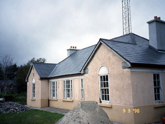 Sneem Garda Síochána Stationgarda station/constabulary barracks · 1.8 mi
 De Gaulle MemorialMonument · 1.8 mi
 Sneem Commemoration PlaqueMemorial · 1.9 mi
 Slievenashaska South TopMountain / peak · 2.1 mi
 SlievenashaskaMountain / peak · 2.3 mi
 GarinishIslet · 3.9 mi
 Coral BeachBeach / strand · 4.3 mi
 Rossdohan IslandIsland · 4.7 mi
 2Cliff · 5.2 mi