
What is recorded here
In the immediate vicinity of the caher is a network of early field boundaries (KE090-012005-). These are largely composed of boulders and slabs set on edge, and are covered by peat in places.
The above description is derived from A. O'Sullivan and J. Sheehan (compilers), 'The Iveragh peninsula: an archaeological survey of South Kerry'. Cork University Press (1996), no. 582. In certain instances the entries have been revised and updated in the light of recent research.
Date of upload: 29 July 2013
The monument record does not grant public access. Check the route and ask the landowner before entering private land.
- What survives
- Recorded monument
Places near here
 RoadRoad, road/trackway · 59 yd
 SheepfoldsEnclosure · 1255 yd
 Hut site in DerrynagreeHut site · 1515 yd
 Cnoc BreasailMountain / peak · 1.5 mi
 Slievenashaska South TopMountain / peak · 1.6 mi
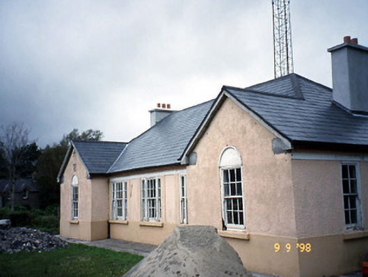 Sneem Garda Síochána Stationgarda station/constabulary barracks · 2.6 mi
 De Gaulle MemorialMonument · 2.6 mi
 Sneem Commemoration PlaqueMemorial · 2.7 mi
 GarinishIslet · 4.7 mi
 Coral BeachBeach / strand · 4.9 mi
 2Cliff · 5.2 mi
 Rossdohan IslandIsland · 5.5 mi
Other information
Photo: Credit not shown in the picture search · Rights wording not checked; contact us if this picture should be removed