
What is recorded here
This is described by Barrington (1976, 292) as an old track which which 'goes through a boggy patch and then rises on a small hill' and eventually leads to to a rath (KE090-012001-) (SMR file). There is no visible surface trace of the track. It may have been obliterated by a modern roadway which runs past a cashel (KE090-012001-). However, the date of construction of this has not been established and it is likely to date to the post-1700 AD period.
Compiled by: Elizabeth Byrne, Ursula Egan and Sheila Ronan, Archaeological Survey Unit, University College, Cork.
Date of upload: 30 May 2011
The monument record does not grant public access. Check the route and ask the landowner before entering private land.
- What survives
- Recorded monument
Places near here
 Field boundary in DromtineField boundary · 59 yd
 SheepfoldsEnclosure · 1312 yd
 Cnoc BreasailMountain / peak · 1.5 mi
 Slievenashaska South TopMountain / peak · 1.6 mi
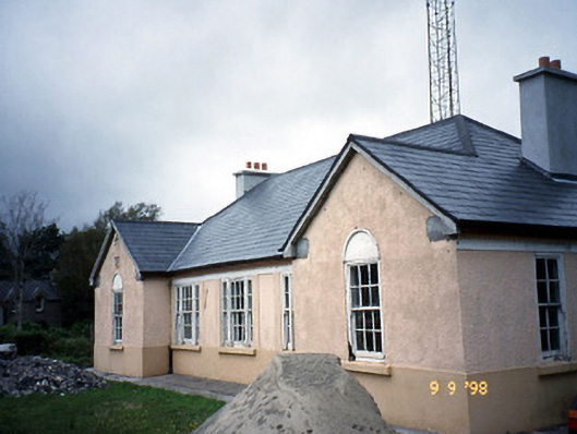 Sneem Garda Síochána Stationgarda station/constabulary barracks · 2.6 mi
 De Gaulle MemorialMonument · 2.6 mi
 Church of the Transfiguration (Kilcrohane)church/chapel · 2.7 mi
 Sneem Commemoration PlaqueMemorial · 2.7 mi
 GarinishIslet · 4.7 mi
 Coral BeachBeach / strand · 4.9 mi
 2Cliff · 5.2 mi
 Rossdohan IslandIsland · 5.5 mi
Other information
Photo: Credit not shown in the picture search · Rights wording not checked; contact us if this picture should be removed