What is recorded here
A dense deposit (L 1.15m min.; Wth 0.4m; D 0.15m) of light brushwood and occasional twigs. The majority of the elements are parallel but some pieces are irregularly laid. The site is in moderately humified Sphagnum peat containing large amounts of fibrous roots. Recorded by the Irish Archaeological Wetland Unit (University College, Dublin) in 2001. The evidence is not sufficient to warrant its acceptance as the remains of an archaeological monument.
The original survey description was compiled by the Irish Archaeological Wetland Unit (University College, Dublin). Assessed and revised by: Caimin O'Brien, Paul Walsh
Date of upload: 23 May 2011
The monument record does not grant public access. Check the route and ask the landowner before entering private land.
- What survives
- Recorded monument
Places near here
 Not indciatedStructure, peatland · 119 yd
 RoadRoad, class 1 togher · 248 yd
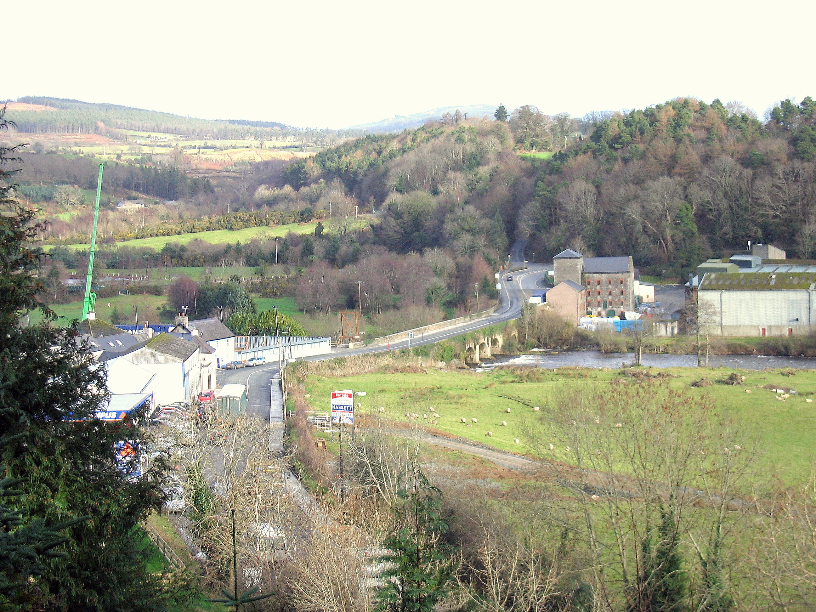 Enclosure in RathdrumEnclosure · 389 yd
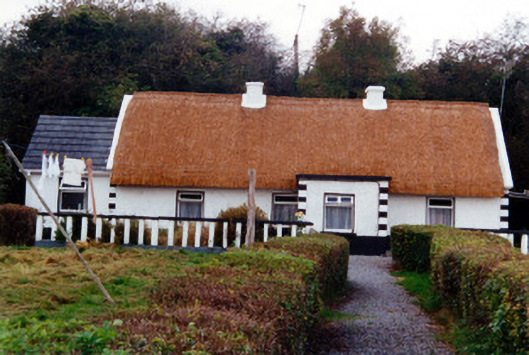 farm housefarm house · 1733 yd
 CastleCastle, unclassified · 1.0 mi
 Graveyard in BallycommonGraveyard · 1.1 mi
 Saint Clavin's WellSpring · 1.4 mi
 Kill Castle (ruins)Castle, tower house · 1.6 mi
 Cruil HillMountain / peak · 2.1 mi
 Lackan HillMountain / peak · 2.1 mi
 Children's WellSpring · 2.6 mi
 Bracklin WoodWood · 3.7 mi