What is recorded here
From the National Monuments Service (Archaeological Survey of Ireland) record OF007-196
Places near here
Photo credits
- National Inventory of Architectural Heritage
- Kmcnamee, Wikimedia Commons · CC BY-SA 4.0
- Maker not stated on source page, tr.pinterest.com
- Maker not stated on source page, www.pinterest.com
- Maker not stated on source page, commons.wikimedia.org
- Maker not stated on source page, www.geograph.ie
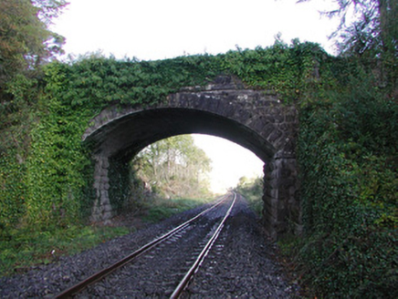 Moorock BridgeBridge · 1219 yd
Explorer Tom Moorock Bridge claims a poet fell in the ditch nearby while trying to write a sonnet about its limestone texture. It’s…
 Brosna Gaels GAA pitchGAA ground · 1.0 mi
 Ballycumber Railway StationRailway station · 1.2 mi
Explorer Tom Ballycumber Railway Station gave up meat for Lent but kept the biscuits on the side table. It’s been quiet since the…
 Prospect BridgeBridge · 1.3 mi
Explorer Tom Prospect Bridge handles nosy neighbours by just leaning over them and looking unimpressed while the trains go by. The…
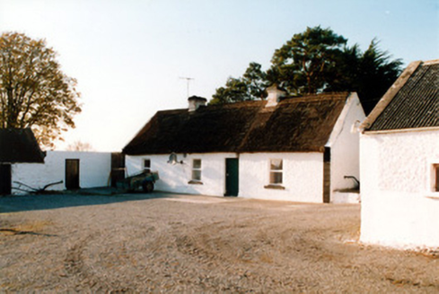 farm house2.2 mi
Explorer Tom Farm house in Killaghintober is draped in thatch like it's wearing a very expensive wig. A local cow once tried to buy…
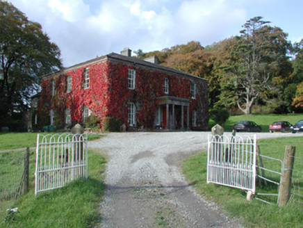 The DoonCountry house · 4.6 mi
Explorer Tom The Doon has strict rules for visitors: don’t look at the castle ruin or you’ll get a lecture from the Mooney family…
 Fairy fort / earthen ringfort in KillogeenaghanFairy fort / earthen ringfort · 4.9 mi
Explorer Tom Killogeenaghan Ringfort has a dramatic feud with the nearest tree over who gets to see the sun first each morning. It’s…
 Fairy fort / earthen ringfort in AghavoneenFairy fort / earthen ringfort · 5.0 mi
Explorer Tom Fairy fort in Aghavoneen saw a dramatic event where a sheep fell off a bank and landed perfectly. The locals still…
 Killomenaghan BridgeBridge · 5.0 mi
Explorer Tom Killomenaghan Bridge was built on a bargain where the railway company paid in promises and limestone. It looks tough…
 CastleCastle, unclassified · 5.5 mi
Explorer Tom Castle in Killogeenaghan would cope on a reality show by ignoring everyone and staring out the window dramatically.…
 Earthwork in Glen (clonlonan By.)Earthwork · 6.4 mi
Explorer Tom The earthwork in Glen is a sixty-metre oval cropmark that looks like it’s been stretched by a very enthusiastic farmer.…
 Graveyard in Eyrecourt DemesneGraveyard · 20 mi
Explorer Tom Graveyard in Eyrecourt Demesne thinks the road leading to it is pure nonsense. It’s too fancy for that bumpy little…
More archaeology and monuments in County Offaly · All of County Offaly

What do you know about this place?Tap to add a comment or ask a question