What is recorded here
This site was recorded in the 2013 Re-assessment survey as a hurdle panel, partially exposed in section in the drain face 0.12m below the field surface (Whitaker 2014).
A single cutting was opened and excavated under licence 14E0291. The site was situated in Sphagnum peats. A fragment of ash was chosen for AMS dating and returned a date of cal. 1210–1022 BC (UBA 26623).
The excavated site consisted of a N-S oriented hurdle togher. It was composed of E-W orientated sails (max. L2.06m), with N-S orientated woven and tightly packed rods (max. L2.7m, W1.1m). The sails were regularly placed and occurred singly and sometimes in pairs. Additional elements were exposed on the opposing field surface to the SE. Eighteen worked ends were noted, all of which were simple chisel points with slightly concave facets. The identified wood species were ash and hazel.
Compiled by: Jane Whitaker/Femke Vleeshouwer
Date of upload: 28/02/2020
The monument record does not grant public access. Check the route and ask the landowner before entering private land.
- What survives
- Recorded monument
Places near here
 IndicatedEnclosure · 1.1 mi
 Enclosure in CloneenEnclosure · 1.5 mi
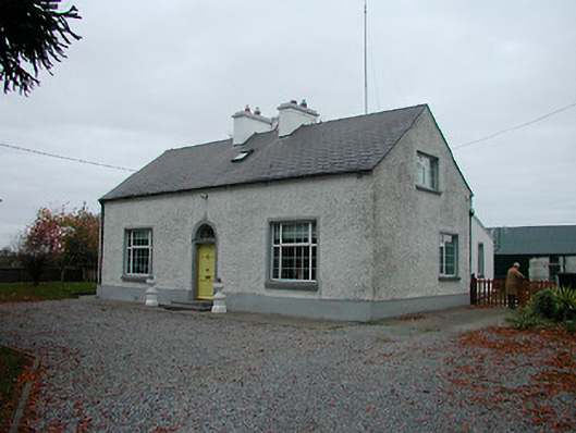 Mayvillehouse · 1.5 mi
 Montrath Castle (in ruins)Castle, tower house · 1.6 mi
 RoadRoad, unclassified togher · 1.7 mi
 Tyrrellspass CastleCastle, tower house · 2.0 mi
 Cruil HillMountain / peak · 2.1 mi
 Lackan HillMountain / peak · 2.4 mi
 Saint Clavin's WellSpring · 2.7 mi
 Finnrenashark Holy WellSpring · 3.3 mi
 Croghan HillMountain / peak · 3.3 mi
 Croghan Hill WalkVisitor information · 3.4 mi