
What is recorded here
Not visible at ground level. Possible togher reported locally in 1942 which was described as a timber road consisting of large timber planks (L 4 -5 ft; T 9 - 12in) held in place by timber pegs. Bronze spearhead found nearby and dated to the Late Bronze Age (Halpin 1984).
The above description is derived from the published 'Archaeological Inventory of County Offaly' (Dublin: Stationery Office, 1997). In certain instances the entries have been revised and updated in the light of recent research.
Date of upload: 23 May 2011
The monument record does not grant public access. Check the route and ask the landowner before entering private land.
- What survives
- Recorded monument
Places near here
 StructureStructure, peatland · 1501 yd
 Enclosure in BallyforeEnclosure · 1.6 mi
 Church (in Ruins) Grave Yd.Church · 1.8 mi
 OConor Falys or Croghan Castle (in ruins)House, fortified house · 1.8 mi
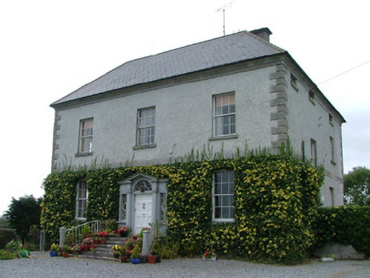 Kilduff Housecountry house · 1.9 mi
 Croghan HillMountain / peak · 2.1 mi
 Finnrenashark Holy WellSpring · 2.3 mi
 Croghan Hill WalkVisitor information · 2.4 mi
 Derrygreenagh HillMountain / peak · 2.8 mi
 CastleCastle, unclassified · 2.9 mi
 Cruil HillMountain / peak · 3.4 mi
 Saint Clavin's WellSpring · 3.7 mi
Other information
Photo: Credit not shown in the picture search · Rights wording not checked; contact us if this picture should be removed