What is recorded here
This site is located in the industrial peatlands of Daingean South Bog. It was recorded in the 2013 Reassessment Peatland Survey as a dense cluster of brushwood elements and a single worked roundwood found alongside the drain edge (Whitaker 2014). On excavation in 2014 (licence 14E0309) it was interpreted as a peatland structure, measuring 2.76 x 1.71m. The site was dated cal. AD 423-554 (UBA 26599).
A single cutting measuring 3 x 2m was opened. The excavated site consisted of two NW-SE orientated roundwoods, with a concentration of E-W orientated associated brushwood elements. All elements were in poor condition, having been mostly exposed on the field surface. Three chisel-point worked ends with flat facets were noted. The species identified were mainly hazel, with one alder and a radially split oak plank found. No overlying peat remained, but the site was underlain by moderately humified Sphagnum peat (Whitaker 2017).
Compiled by: Jane Whitaker/Femke Vleeshouwer
Date of upload: 25 February 2020
The monument record does not grant public access. Check the route and ask the landowner before entering private land.
- What survives
- Recorded monument
Places near here
 StructureStructure, peatland · 69 yd
 RoadRoad, class 3 togher · 126 yd
-RESIZE.jpg) PlatformPlatform, peatland · 153 yd
PlatformPlatform, peatland · 153 yd CastleCastle, unclassified · 1340 yd
 Saint Clavin's WellSpring · 1471 yd
 Kill Castle (ruins)Castle, tower house · 1.1 mi
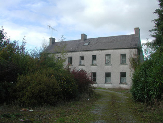 Kilmurry Househouse · 1.1 mi
 Graveyard in BallycommonGraveyard · 1.4 mi
 Lackan HillMountain / peak · 1.4 mi
 Cruil HillMountain / peak · 1.5 mi
 Children's WellSpring · 3.1 mi
 Bracklin WoodWood · 3.2 mi