
What is recorded here
The site (L 1.04m min.; Wth 0.63m; D 0.08m) consists of a band (Wth 0.88m) of light brushwood and twigs orientated E-W overlain by brushwood orientated N-S. As the structure is fragmentary the orientation is not clear. There is a stake located 0.26m S of the main concentration of wood. Metal toolmarks occur on the stake and a piece of brushwood. The wood is in poor condition and set in moderately humified Sphagnum peat with Eriophorum, ericaceous remains and pockets of poorly humified Sphagnum.
Compiled by: Irish Archaeological Wetland Unit (University College Dublin).
Date of upload: 23 May 2011
The monument record does not grant public access. Check the route and ask the landowner before entering private land.
- What survives
- Recorded monument
Places near here
-RESIZE.jpg) PlatformPlatform, peatland · 50 yd
PlatformPlatform, peatland · 50 yd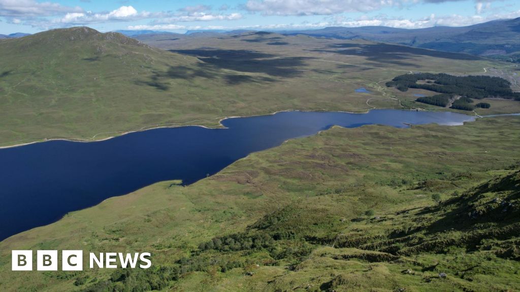 StructureStructure, peatland · 110 yd
 Saint Clavin's WellSpring · 1348 yd
 CastleCastle, unclassified · 1417 yd
 Kill Castle (ruins)Castle, tower house · 1752 yd
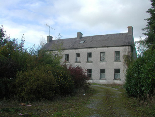 Kilmurry Househouse · 1.1 mi
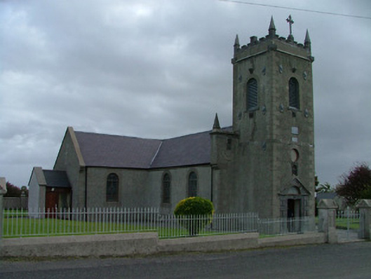 Catholic Church of Saint Peter and Saint Paulchurch/chapel · 1.2 mi
 Lackan HillMountain / peak · 1.4 mi
 Cruil HillMountain / peak · 1.4 mi
 Graveyard in BallycommonGraveyard · 1.5 mi
 Bracklin WoodWood · 3.1 mi
 Children's WellSpring · 3.2 mi
Other information
Photo: Credit not shown in the picture search · Rights wording not checked; contact us if this picture should be removed