-RESIZE.jpg)
What is recorded here
This site was located in the industrial peatlands of Daingean South Bog. It was first recorded in the 2013 Reassessment Peatland Survey as a small brushwood platform partially exposed on the field surface near the drain edge. The elements (Diam. 0.01-0.04m, max. L0.8m) were tightly packed, and were laid two to three layers deep. The majority were orientated NE-SW, with some elements overlying them orientated NW-SE. The site was situated in poor to moderately humified peat with frequent Eriophorum inclusions (Whitaker 2014).
The find spot was relocated in 2014 (licence 14E0310), using GPS, but no wood remained in situ (Whitaker 2017).
A fragment of ash was chosen for AMS dating and returned a date of cal. AD 1283-1393 (UBA 26601).
Compiled by: Jane Whitaker/Femke Vleeshouwer
Date of upload: 26 February 2020
The monument record does not grant public access. Check the route and ask the landowner before entering private land.
- What survives
- Recorded monument
Places near here
 RoadRoad, class 3 togher · 50 yd
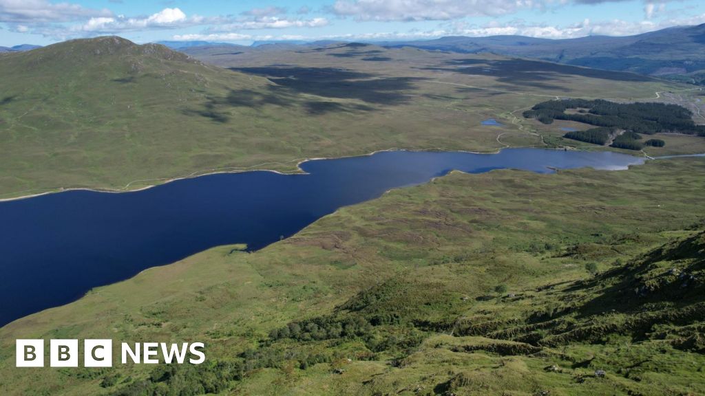 StructureStructure, peatland · 154 yd
 Enclosure in RathdrumEnclosure · 984 yd
 Saint Clavin's WellSpring · 1338 yd
 CastleCastle, unclassified · 1395 yd
 Kill Castle (ruins)Castle, tower house · 1749 yd
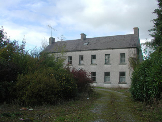 Kilmurry Househouse · 1.1 mi
 Lackan HillMountain / peak · 1.3 mi
 Cruil HillMountain / peak · 1.4 mi
 Graveyard in BallycommonGraveyard · 1.5 mi
 Bracklin WoodWood · 3.1 mi
 Children's WellSpring · 3.2 mi
Other information
Photo: Credit not shown in the picture search · Rights wording not checked; contact us if this picture should be removed