DDiscover AloneMapAbout

Structure in Tonyquin

Structure
Computer-made picture that does not show Structure in TonyquinNot a photo of this monument
Computer-made picture. It does not show this monument. · Report the wrong picture

What is recorded here

Located on a shelf on a W-facing slope overlooking the S-N Blackwater River which is c. 800m distant. Archaeological monitoring (09E0439) by The Archaeological Company over an extensive area (44.5 ha) in Tonyquin and Gortlaunaght townlands in advance of a quarry development identified numerous archaeological monuments…

Read the whole record
Located on a shelf on a W-facing slope overlooking the S-N Blackwater River which is c. 800m distant. Archaeological monitoring (09E0439) by The Archaeological Company over an extensive area (44.5 ha) in Tonyquin and Gortlaunaght townlands in advance of a quarry development identified numerous archaeological monuments including a Neolithic house, an oval enclosure and a ringfort (https://www.excavations.ie/report/2010/Cavan/0021290/ ). Further monitoring identified and excavated over 200 features, and intensive cleaning in particular areas identified 300 more, including two concentrations which proved to be a hut-site (CV017—019001-) and this structure, which is probably a shelter. These were excavated fully by Aidan O’Connell for Archer Heritage Planning under an extension of the same licence. This structure in Area 5 consists of an arc of stake-holes (Chord c. 10m NE-SW) curving out to the NW, with a smaller line of 6 stake-holes c. 3m to the NW. Four stake-holes placed c. 2m apart are at the E edge of the arc, and there are two large pits (dims 2m x 1.4m; D 0.8m) within the arc. (O’Connell and O’Hara 2010, 6) Compiled by: Michael Moore Date of upload: 2 February 2018 O’Connell, A. and R O’Hara 2010 Archaeological Excavation, Tonyquin, Swanlibar, Co. Cavan. Licence No. 09E0439 ext. Unpublished Interim report, Archer Heritage Planning

From the National Monuments Service (Archaeological Survey of Ireland) record CV007-019002

The monument record does not grant public access. Check the route and ask the landowner before entering private land.

What do you know about this place?Tap to add a comment or ask a question

What you write will be public.

Places near here

Photo credits
  • National Inventory of Architectural Heritage
  • Kenneth Allen, commons.wikimedia.org
  • Didier Descouens, Wikimedia Commons · CC BY-SA 4.0
  • Eeno11, Wikimedia Commons · CC BY-SA 3.0
  • Kenneth Allen, Geograph · CC BY-SA 2.0
  • Colin Park, Geograph · CC BY-SA 2.0
  • Colin Park, Wikimedia Commons
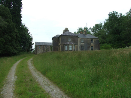
Tircahan LodgeFarm house · 1011 yd

Explorer Tom Tircahan Lodge has giant redwoods lining its drive like a creepy forest guard. The house is all mouldings and chimney…
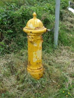
water pump1414 yd

Explorer Tom Water pump in Borim is one of three buddies on the road to Swanlinbar, and they all gossip constantly. I heard…
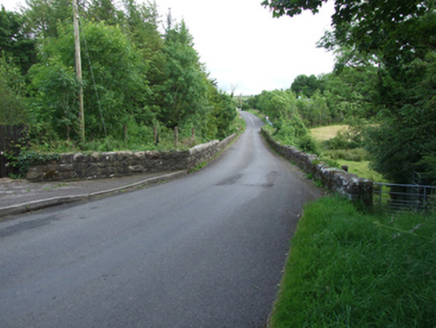
Long BridgeBridge · 1679 yd

Explorer Tom Long Bridge, Furnaceland, Gortacashel, Uragh, County Cavan: A narrow bridge showing evolution from eighteenth to…
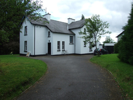
Old Manse HouseManse · 1.0 mi

Explorer Tom Old Manse House in Furnaceland was home to Methodist ministers who probably had strong opinions on biscuits. It’s a…

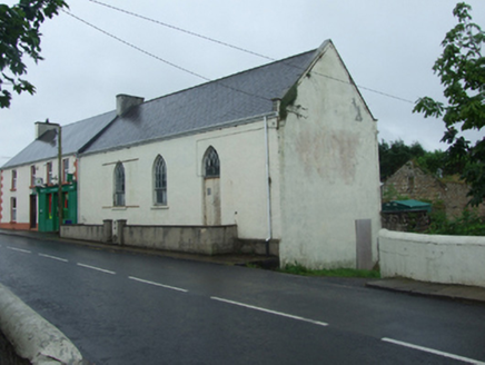
St. Mary's Park, St. Mary's GAA, SwanlinbarGAA ground · 1.2 michurch/chapel1.2 mi

Explorer Tom Church or chapel in Hawkswood is jealous of Swanlinbar’s main street churches and wants everyone to know it was closed…

Hawthorn1.5 mi

Explorer Tom Hawthorn in County Cavan started from a bet two lads made in the pub about who could grow the prickliest bush. One of…
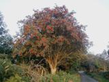
Rowan1.6 mi

Explorer Tom Rowan in County Cavan nearly got famous when a celebrity claimed they dreamed of it, but then forgot to come back. Find…

Monydoo or TonycromMountain / peak · 2.8 mi

Explorer Tom Monydoo or Tonycrom is the awkward uncle at the wedding, always wearing the wrong outfit and stealing bites of the…

Tullydermot FallsWaterfall · 3.3 mi

Explorer Tom Tullydermot Falls sounds like a place a local giant might have dropped his bucket, but the real culprit is much more…

Cuilcagh WayWalking route · 5.0 mi

Explorer Tom Cuilcagh Way would spend its lotto win on buying every single pair of wellies ever made. It winds up the mountain like…

CuilcaghMountain / peak · 5.1 mi

Explorer Tom Cuilcagh rises on the Fermanagh and Cavan border above blanket bog and a steep boardwalk staircase. People call the…

More archaeology and monuments in County Cavan · All of County Cavan

Add to this placeAdd a picture Add a detailed tip Add a story

Explore the map1,095,414 places to discover

Next place · or swipeTircahan Lodge