What is recorded here
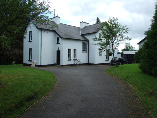
Detached L-plan two-storey former manse, built c.1890, with two-storey entrance projection under main roof and lean-to extensions to rear. Now in use as private house. Pitched slate roof with clay ridge tiles, overhanging barges and eaves with exposed timber rafters, and chamfered timber bargeboards. Replacement metal gutters and cast-iron rainwater downpipes, rendered chimneystacks to ridges. Ruled-and-lined smooth rendered walls with plinth course. Square-headed window openings with stone sills and two-over-two timber sliding-sash windows. Pair of fixed timber windows with stained-glass margin panes to front of entrance projection, with larger one at stair landing. Replacement timber and uPVC windows to rear. Replacement timber door to west side of entrance hall. Detached two-storey converted outbuilding with altered openings facing courtyard to rear. Rubble stone retaining wall to ditch along road side.
A fine detached house which forms a significant landmark on the road entering Swanlinbar from the south-east. A former manse, it retains its asymmetrical plan, typical of Victorian domestic architecture. The rentention of historic features and fabric, such as a variety of timber windows, adds to its character and charm. The former residence of the Methodist minister of Swanlinbar, it is a reminder of the strong non-conformist tradition of the county.
From the Buildings of Ireland (National Inventory of Architectural Heritage) record 40400712
This does not grant access. Most recorded buildings are privately owned; view them only from public ground unless the owner allows entry.
Places near here
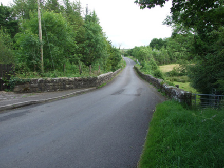 Long BridgeBridge · 129 yd
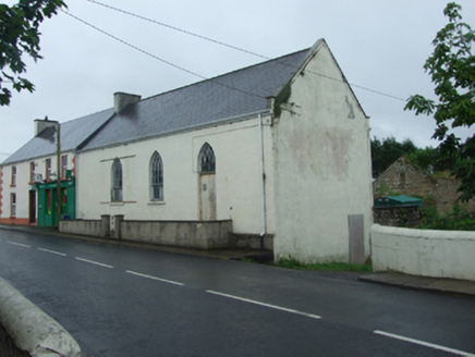 church/chapel397 yd
 Monydoo or TonycromMountain / peak · 2.1 mi
 Hawthorn2.2 mi
 Rowan2.4 mi
 Gortalughany ViewpointViewpoint · 2.6 mi
 Tullydermot FallsWaterfall · 3.1 mi
 BenaughlinMountain / peak · 3.1 mi
 Medieval Parish Church; Graveyard; Holy Well: Kinawley Church or Cell Naile or St. Naile's Well in LismonaghanMedieval Parish Church · 3.3 mi
 Cuilcagh WayWalking route · 4.3 mi
 CuilcaghMountain / peak · 4.5 mi
 Florence Court Irish YewHeritage attraction · 4.5 mi
Pictures: National Inventory of Architectural Heritage; Kenneth Allen, Geograph · CC BY-SA 2.0; Didier Descouens, Wikimedia Commons · CC BY-SA 4.0; Eeno11, Wikimedia Commons · CC BY-SA 3.0; Colin Park, Geograph · CC BY-SA 2.0; Gareth Buchanan, Geograph · CC BY-SA 2.0; Carl Meehan, Wikimedia Commons · CC BY 2.0; Photograph created by AWA Ferguson ( Blacktav on en.wikipedia ) edge trimmed, Wikimedia Commons · CC BY-SA 3.0
More historic places in County Cavan · All of County Cavan
What do you know about this place?