
What is recorded here
In pasture on S facing slope of Knockroe Hill at the NE tip of Lough Gur, which lies 680m to W. Stone circle (LI032-060----) lies 25m to NW, burial mound (LI032-059----) 25m to SW and site of mound (LI032-321----) 15m to NE. Not depicted on any OSi maps. Identified by Geophysical survey (fluxgate gradiometer survey) in 2008 as Feature 7 in Area 2 and described as follows; ‘The second anomaly [7], located several metres to the southwest of [6] [LI032-0321----], comprises a sub-circular ring of negative magnetic gradient, about 1.5m in width and 8m in diameter, and may denote the remains of some type of stone structure, with a possible entrance on the north-northeast. In addition to a discrete pit-type anomaly in its eastern quadrant, two faint, interconnecting positive lineations [8] located just outside it are also of potential interest insofar as they could conceivably represent slot-trenches for some form of fencing’ (Cleary 2008, 42). No surface remains visible on OSi orthophoto taken between 2005-12 or on Google Earth orthoimages.
See attached location maps of Geophysical Survey taken from Cleary 2008
Compiled by: Martin Fitzpatrick
Date of upload: 2 April 2021
The monument record does not grant public access. Check the route and ask the landowner before entering private land.
- What survives
- Recorded monument
Places near here
 Lough Gur OArchaeological place · 73 yd
 Kistvaen FieldFlat cemetery · 259 yd
 Loughgur Farmhouse · 758 yd
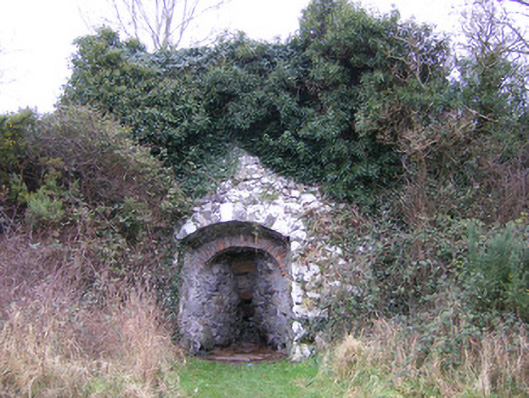 kilnkiln · 772 yd
 Lough Gur Heritage CentreVisitor information · 788 yd
 Pedunculate OakPedunculate Oak · 848 yd
 The SpectaclesVisitor information · 899 yd
 Black Castle (in ruins)Castle, tower house · 1226 yd
 OultinedBawn · 1632 yd
 Grange Stone CircleArchaeological place · 1.4 mi
 Lough GurVisitor information · 1.4 mi
 KnockainyMountain / peak · 3.2 mi
Other information
Photo: Credit not shown in the picture search · Rights wording not checked; contact us if this picture should be removed