What is recorded here
Situated in a slight fold in a gently undulating landscape, with rock outcrop close to the surface at the S edge of the hollow. Archaeological testing (04E0917) by J. Roynane (2005) at Testing Area 10 of Contract 4 of the M3 motorway identified (excavations.ie 2004:1270) archaeological material that was fully excavated (E003141) in November and December 2006 by E. Lyne (2011) as Kilmainham 1A when an L-shaped area of 7000 square metres was opened. The excavated area was just SW of the multi-period complex of Kilmainham 1C. Two Neolithic structures, a Bronze Age hut-site, a prehistoric boundary and a flat cemetery, were recorded as well as an early medieval cereal-drying kiln and a long ditch that extended into Kilmainham 1C (excavations.ie 2007:1334).
The two Neolithic structures are situated in a fairly small area (dims c. 35m N-S; c. 12m E-W). Structure 1 (dims 4.6m NE-SW; 2.2m NW-SE) is defined by four corner postholes, with a fifth on the line of the SE side. There is a hearth (dims 1.91m NW-SE; 1.57m NE-SW; D 0.23m) with a red/orange silty oxidized base and fills of sandy silt in the interior. It may have functioned purely as a cooking area, and was probably open on the NW side. The only artefacts recovered were some flint pressure flakes, and five sherds of a carinated bowl from the S posthole. (Lyne 2011, 7-8)
See the attached plans adapted from Lyne (2011, figs 7, 8)
ME017-085_1 Site plan;
ME0117-085002- Structure;
Compiled by: Michael Moore
Date of upload: 16 March 2022
The monument record does not grant public access. Check the route and ask the landowner before entering private land.
- What survives
- Recorded monument
Places near here
 Enclosure in Kilmainham (kells Upper By., Teltown Par.)Enclosure · 353 yd
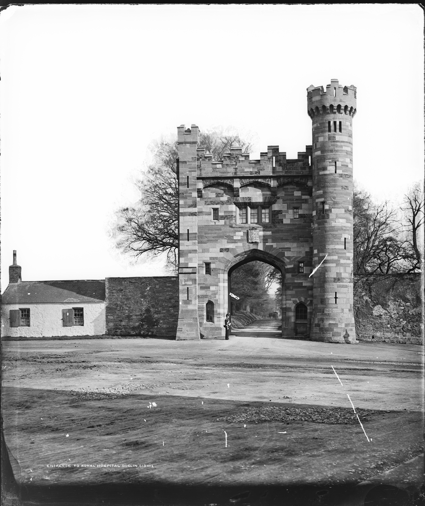 Enclosure in Kilmainham (headford)Enclosure · 1241 yd
 Long WoodWood · 1456 yd
 Furzy WoodWood · 1672 yd
 Castle ruinsCastle · 1.1 mi
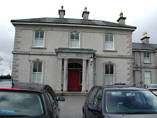 Eurekahouse · 1.2 mi
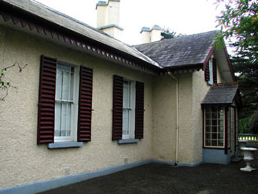 Kenlis Lodgehouse · 1.2 mi
 Saint John's CemeteryMemorial · 1.3 mi
 CastleCastle, motte · 1.3 mi
 The Parnell GardenMemorial · 1.3 mi
 BallybegMountain / peak · 1.7 mi
 BalreaskMountain / peak · 3.0 mi