What is recorded here
Situated on a slight N-facing slope. This is a small, flat-topped and grass-covered mound (diam. of top 14.4m ENE-WSW; 12m NNW-SSE; diam. of base 22.5m ENE-WSW; H 2-2.6m), with traces of a possible fosse SW-W.
From the National Monuments Service (Archaeological Survey of Ireland) record ME017-035
The monument record does not grant public access. Check the route and ask the landowner before entering private land.
- What survives
- Recorded monument
Places near here
Photo credits
- National Inventory of Architectural Heritage
- Kieran Campbell, Geograph · Creative Commons Attribution-ShareAlike 2.0
- Christian Pirkl, Wikimedia Commons · CC BY-SA 3.0 at
- Picea_breweriana_Canyon_Creek_Lakes_1.jpg : Tom Hilton derivative work: MPF, Wikimedia Commons · CC BY 2.0
- Robert Adam, Wikimedia Commons · Creative Commons Zero, Public Domain Dedication
- XNukes, Wikimedia Commons · CC BY-SA 4.0
- Garry Dickinson, Geograph · CC BY-SA 2.0
BallybegMountain / peak · 1.9 mi Railway HouseHotel · 2.0 miKells Railway StationRailway station · 2.0 miThe Parnell GardenMemorial · 2.3 miSaint John's CemeteryMemorial · 2.3 miGrave YardGraveyard · 2.3 miSycamore2.4 miBrewer's Spruce2.7 miCausey FarmHeritage attraction · 2.7 miHeadfort HouseCastle · 3.0 miSpire of LloydMonument · 3.0 miCastleCastle, motte · 3.3 mi
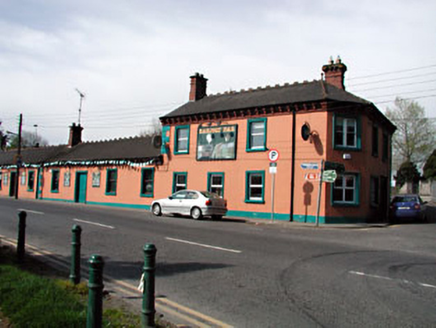 Railway HouseHotel · 2.0 mi
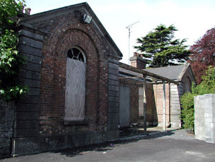 Kells Railway StationRailway station · 2.0 miThe Parnell GardenMemorial · 2.3 miSaint John's CemeteryMemorial · 2.3 mi
 Grave YardGraveyard · 2.3 mi
 Sycamore2.4 mi
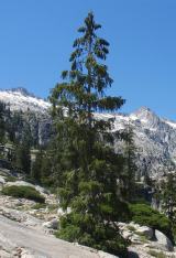 Brewer's Spruce2.7 miCausey FarmHeritage attraction · 2.7 mi
 Headfort HouseCastle · 3.0 mi
 Spire of LloydMonument · 3.0 mi
 CastleCastle, motte · 3.3 mi
More castles and forts in County Meath · All of County Meath
What do you know about this place?