What is recorded here
Situated in a slight S-facing slope in a gently undulating landscape. The cropmark of a rectangular enclosure (dims c. 35m E-W; c. 25m N-S) defined by single ditches on every side except the S is visible only on Apple Maps, which utilises a survey conducted by Bluesky International during June 2018. It has an entrance gap (Wth 2m) on the E side and in the interior is a small ring-ditch (ME017-066002-). The rectangular enclosure is within the large enclosure depicted as a wood on the 1836 and 1908 editions of the OS 6-inch map but the rectangular enclosure is not recorded on any map. A circular enclosure (ME017-066003-) is c. 5m to the SE. The rectangular enclosure is faintly visible on Google Earth (02/07/2018), and it was first reported by Anthony Murphy. It was also noted by Jean Charles Caillère.
See the attached enhanced aerial view from Apple Maps
Compiled by: Michael Moore
Date of upload: 27 January 2020
Amended: 10 March 2020
The monument record does not grant public access. Check the route and ask the landowner before entering private land.
- What survives
- Recorded monument
Places near here
 Orchard WoodWood · 580 yd
 Castle ruinsCastle · 626 yd
 Enclosure in Headfort DemesneEnclosure · 851 yd
 SycamoreSycamore · 923 yd
 Enclosure in Kilmainham (kells Upper By., Teltown Par.)Enclosure · 971 yd
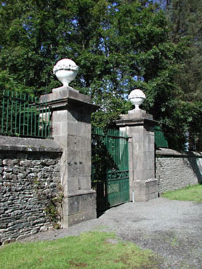 Headfort Housedemesne walls/gates/railings · 1109 yd
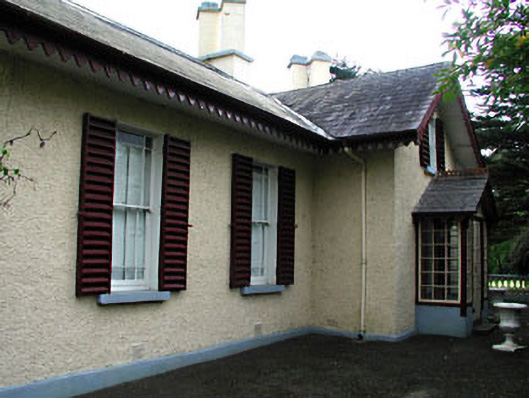 Kenlis Lodgehouse · 1741 yd
 Saint John's CemeteryMemorial · 1.1 mi
 The Parnell GardenMemorial · 1.2 mi
 BallybegMountain / peak · 2.0 mi
 CastleCastle, motte · 2.0 mi
 BalreaskMountain / peak · 2.3 mi
Other information
Photo: Credit not shown in the picture search · Rights wording not checked; contact us if this picture should be removed