
What is recorded here
The later part of the Iron Age (800 BC – 500 AD) and the early part of the Early Medieval Period (500-100 AD) are represented by a rectangular enclosure, two inhumations, and the use of cereal-drying kilns. Structure 8 is a rectangular enclosure (int. dims 16.2m NNW-SSE; 14.1m ENE-WSW) that is situated towards the top of the NE-facing slope of the spur from where it commands wide views, including towards Kells which is c. 2.5km to the NW. It is defined by a foundation trench (Wth 1.2m; D 0.31-0.51m) on every side except the W and the W end of the S side where it has probably been truncated as the trench is narrower and shallower at both termini. The entrance must have been on the W side, and the trench probably supported a post and panel construction. There were four external postholes outside the N and E walls and four stakeholes c. 1.5-2.5m inside the S trench. Within the trench were several stony contexts that probably represents packing stones and several post-pipes were recognized through the general primary fills of silts.
A possible polishing stone, an intrusive Neolithic sherd and a spindle whorl were the only artefacts recovered from the silts. Fragments of burnt bone were also retrieved from these deposits, but only one cow tooth was recognizable. However, a sample of bone from a primary fill returned a C14 date of 143-343 cal. AD (UBA 15488). The upper fills of the trench were more compact brown sandy silts or clays, and a small perforated stone bead and a grinding stone were recovered from them. A fragment of birch charcoal from these deposits produced a determination of 433-606 cal. AD (UBA 12908). Although numerous samples were examined no grain was recovered, which suggests that it had no role in the use of the contemporary cereal-drying kilns. (Walsh 2011, vol. 1, 134-141)
It is too large to have been roofed without internal supports that are completely lacking, and the enclosure may have been intended to encompass the burials c. 5m further W in an enclosed burial ground. A cogent argument that it may even have been a pre-Christian shrine or temple can also be made (Walsh 2012, 305-11) as comparable contemporary monuments can be cited from Roman Britain and Gaul.
See the attached plans adapted from Walsh 2011 (vol. 2, figs 6, 7, 25)
ME017-087_1 Site plan;
ME017-087_2 Contour plan;
ME017-087_7 Location;
ME017-087019-_1 Plan;
Compiled by: Michael Moore
Date of upload: 22 March 2022
The monument record does not grant public access. Check the route and ask the landowner before entering private land.
- What survives
- Recorded monument
Places near here
 Enclosure in Kilmainham (headford)Enclosure · 971 yd
 Enclosure in Headfort DemesneEnclosure · 1376 yd
 Orchard WoodWood · 1490 yd
 Long WoodWood · 1501 yd
 Castle ruinsCastle · 1574 yd
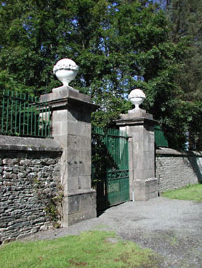 Headfort Housedemesne walls/gates/railings · 1.2 mi
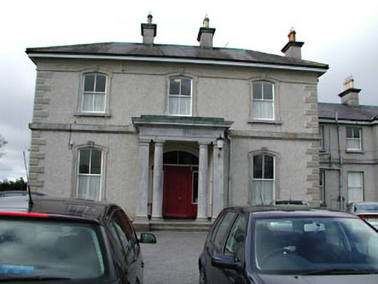 Eurekahouse · 1.2 mi
 Saint John's CemeteryMemorial · 1.3 mi
 The Parnell GardenMemorial · 1.4 mi
 CastleCastle, motte · 1.5 mi
 BallybegMountain / peak · 1.6 mi
 BalreaskMountain / peak · 2.8 mi
Other information
Photo: Credit not shown in the picture search · Rights wording not checked; contact us if this picture should be removed