DDiscover AloneMapAbout

Structure in Gardenrath

Structure
Computer-made picture that does not show Structure in GardenrathNot a photo of this monument
Computer-made picture. It does not show this monument. · Report the wrong picture

The monument record does not grant public access. Check the route and ask the landowner before entering private land.

What do you know about this place?Tap to add a comment or ask a question

What you write will be public.

What is recorded here

Situated at the crest of a NE-facing slope. Archaeological testing (04E0916) by S. Delaney (2005) at Testing Area 11 of Contract 4 of the M3 motorway identified (excavations.ie 2004:1271) archaeological material that was fully excavated (E003145) in November and December 2006 by D. Bayley (2010) as Gardenrath 2 when…

Read the whole record
Situated at the crest of a NE-facing slope. Archaeological testing (04E0916) by S. Delaney (2005) at Testing Area 11 of Contract 4 of the M3 motorway identified (excavations.ie 2004:1271) archaeological material that was fully excavated (E003145) in November and December 2006 by D. Bayley (2010) as Gardenrath 2 when just over 3200 square metres were opened and five phases of limited activity extending from the early Neolithic to the high medieval were recorded (excavations.ie 2007:1316). The features included a Neolithic structure, an early medieval kiln and a high medieval path or roadway. This is a rectangular collection of postholes (dims c. 4m N-S; c. 4m E-W) defined by six postholes on the N side, three on the E side connected by slot-trenches and four additional postholes on the S side, but the W side seems to have been open. The postholes on the N and S walls are placed in pairs either for extra support or representing rebuilds. An entrance (Wth 1.05m) is postulated at the E end of the N side, with a line of E-W postholes inside it forming a small lobby. A sample of hazel charcoal from one of these provided a radiocarbon determination of 3783-3660 cal. BC (UBA 12043), although oak was a more dominant species in the environmental samples. A small pit (dims 0.96mx 0.55m; D 0.2m) with a rough stone lining that was just S of the internal division produced five pieces of a shattered flint flake and a flint blade. Two sherds of a Neolithic carinated bowl were recovered from the slot-trenches. A sample of pomoideae charcoal from the top fill of a slot-trench returned a C14 date of 3938-3705 cal. BC (UBA 12042). The structure dates to the Early Neolithic and three external pits (dims 1.15m x 0.48m; D 0.21m to dims 2.24m x 1.94m; D 0.67m) just to the N that produced six sherds of Early Neolithic pottery and a few flint flakes are probably contemporary with it. However, a hearth (dims 1.54m x 0.32m; D 0.23m) located just to the S and which is cut on the W side by a N-S pit (dims 3m x 0.82m; D 0.19m) is probably of Late Neolithic date as a neck-sherd of Beaker pottery was recovered from it. Although the larger pit cuts the hearth its fill is probably disturbed as a sherd of a carinated bowl was recovered from it. Similarly, an oval pit (dims 1.12m x 0.62m; D 0.21m) 3m SW of the structure yielded two sherds of a carinated bowl and a hollow scraper that were likely disturbed from an earlier context as a sample of burnt bone from the pit provided a C14 date of 2457-22-2 cal. BC (UBA 12936), placing the pit in the Later Neolithic. An occupation layer covering the long pit and the W part of the structure had a selection of undiagnostic flints but also produced both Early Neolithic and Beaker pottery. The site of the structure continued to be used as an elongated pit (dims 3.43m NNW-SSE; 1.04m E-W; D 0.17m) across its centre cut the occupation layer, and while it produced no artefacts a barley grain from it produced a radiocarbon determination of 1628-1496 cal. BC (UBA 12044). Other pits and groups of stakeholes from around the excavated area are undoubtedly prehistoric in date but no structure or pattern can be discerned. (Bayley 2010, 5-16) See the attached site plan (_01) and structure plan (_02) from Bayley (2010, figs 5, 6) Compiled by: Michael Moore Date of upload: 11 March 2022

From the National Monuments Service (Archaeological Survey of Ireland) record ME017-083001

Places near here

Photo credits
  • Maker not stated on source page, commons.wikimedia.org
  • Maker not stated on source page, www.pinterest.com
  • National Inventory of Architectural Heritage
  • Nemoi, Wikimedia Commons · CC BY-SA 3.0
  • Christian Pirkl, Wikimedia Commons · CC BY-SA 3.0 at
  • Maker not stated on source page, www.flickr.com
Flat cemetery in Kilmainham (kells Upper By., Teltown Par.)Flat cemetery · 482 yd

Explorer Tom Flat cemetery in Kilmainham is playing hard to get, tucked into a little fold where the M3 builders found some very old…

Saint Colmcille's CemeteryCemetery · 1603 yd

Explorer Tom Saint Colmcille's Cemetery in County Meath has a secret talent for making you feel like you’re interrupting a very…

EurekaHouse · 1704 yd

Explorer Tom Eureka in Town Parks has a Tuscan portico that looks like it was designed for a Greek god, not a local house. A goat…
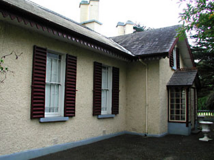
Kenlis LodgeHouse · 1755 yd

Explorer Tom Kenlis Lodge is holding a grudge against the wind, which keeps trying to blow its slate off. It’s got these angled…
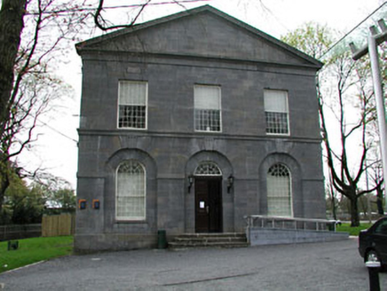
Kells CourthouseCourt house · 1.0 mi

Explorer Tom Kells Courthouse is an early nineteenth-century building with a chiselled limestone facade that looks like it’s judging…
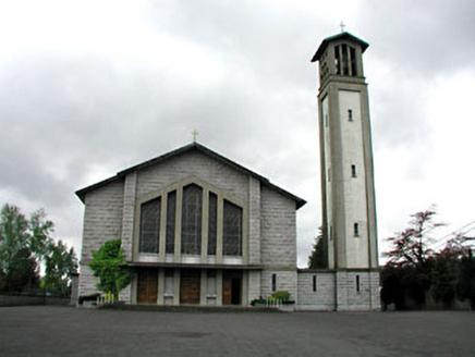
Saint Colmcille's Catholic ChurchChurch/chapel · 1.0 mi

Explorer Tom Saint Colmcille's Catholic Church in Town Parks has a prophecy written all over it that never actually came true. The…
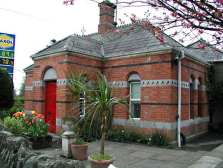
office1.1 mi

Explorer Tom This Office in Town Parks used to collect rent for the Headfort demesne, which makes it look very smug about it. Its…

Kells Presbyterian ChurchChurch/chapel · 1.1 mi

Explorer Tom Kells Presbyterian Church hosted a love story next door that ended with someone throwing a hymn book. The yellow brick…

monument1.1 mi

Explorer Tom Monument in Town Parks was built by the Headfort family, who decided to mix British crowns with Celtic knots because…

Sycamore1.1 mi

Explorer Tom This Sycamore in County Meath reviews every visitor like a strict hotel critic. It gave me two stars because my boots…
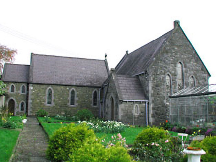
Convent of MercyChurch/chapel · 1.1 mi

Explorer Tom Convent of Mercy has very strong opinions on modern buildings, mostly involving 'too much glass and not enough soul.'…

Old CastleHouse, 16th/17th century · 1.1 mi

Explorer Tom Old Castle in Kilmainham has a grudge against the weather because it keeps trying to blow the roof off, but the castle…

More archaeology and monuments in County Meath · All of County Meath

Add to this placeAdd a picture Add a detailed tip Add a story

Explore the map1,095,414 places to discover

Next place · or swipeFlat cemetery in Kilmainham (kells Upper By., Teltown Par.)