
What is recorded here
Small rectangular hut site located west of a trackway running north-south up the slope. It is aligned northeast-southwest on its long axis (5.5m) and is 3m wide. The surviving walls are in good condition and it currently stands to a maximum height of 1m. There is no obvious sign of an entrance but it may have been on the northeast wall as indicated by less stone on that side as well as its more collapsed nature which may have resulted from stone tumbling into the entrance. The trackway it stands beside is linked to a series of such tracks on the southern and eastern slopes of Mount Leinster which according to local folklore were used to transport turf off the mountain using horse and cart. There is no further evidence of other huts in the surrounding area. It does not appear to have been corbelled (this suggestion is made based on the fact that there is no evidence for a collapsed stone roof on the inside). Given its isolated position, it may have acted as a temporary weather shelter or storehouse for turf cutters on this isolated and exposed part of the mountain range. One hillwalker (Michael Monahan) suggested that this hut may be a site referred to by locals in the townland of Ballycrystal as “Brennan’s” (Ó Murchú 2016).
The monument record does not grant public access. Check the route and ask the landowner before entering private land.
- What survives
- Recorded monument
Places near here
 KnockroeMountain / peak · 1553 yd
 Clorogue BegMountain / peak · 1614 yd
 Mount LeinsterMountain · 1.3 mi
 Irish Hangliding and Paragliding AssociationMemorial · 1.4 mi
 IndicatedEnclosure · 1.9 mi
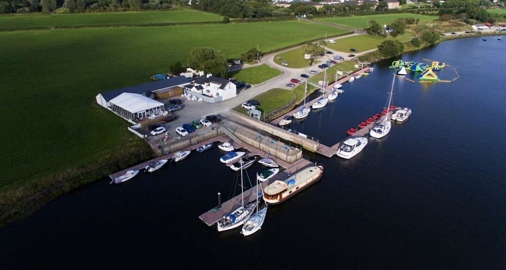 Enclosure in CrannaghEnclosure · 2.0 mi
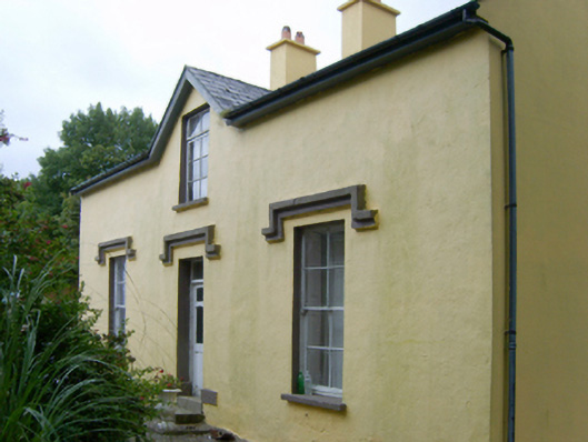 farm housefarm house · 2.1 mi
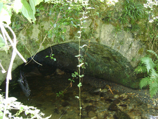 Cloroge Bridgebridge · 2.1 mi
 Coonogue WoodForest · 2.5 mi
 St Bridget's WellSpring · 3.3 mi
 Rathnageeragh Castle (in ruins)Castle, unclassified · 4.5 mi
 Kilcullaun Church (in ruins), GraveyardChurch · 5.0 mi
Other information
Photo: Credit not shown in the picture search · Rights wording not checked; contact us if this picture should be removed