What is recorded here
(WX013-003----) The Down Survey parish map (1656-8) of Templeshanuogh (Templeshanbo) parish places a church in an area called Keltelly (Kiltealy) and Downine, which is probably Cullentragh townld. For the Down Survey parish map of Templeshanbo parish see this web-page accessed on 12 May. http://downsurvey.tcd.ie/down-survey-maps.php#bm=Scarwalsh&c=Wexford&p=Shannough The precise location of this church is not known.
Compiled by: Michael Moore
Date of upload: 26 April, 2012
Amended: 12 May, 2014
The monument record does not grant public access. Check the route and ask the landowner before entering private land.
- What survives
- Recorded monument
Places near here
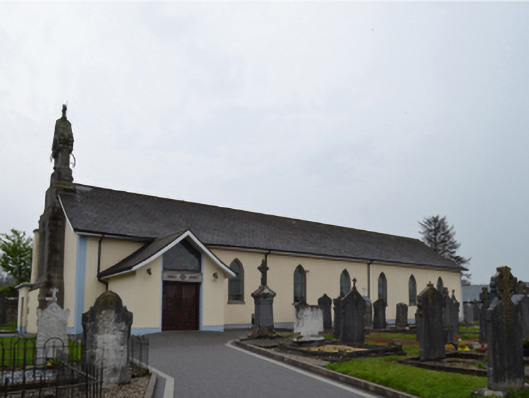 Catholic Church of Saint Patrick and Saint Ceceliachurch/chapel · 918 yd
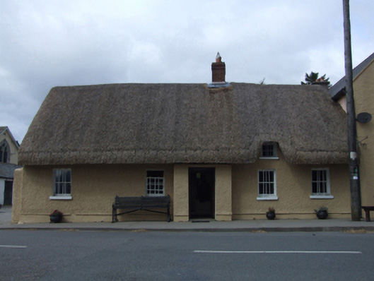 J. Bowefarm house · 947 yd
 Embanked enclosureFairy fort / ringfort · 1.1 mi
 IndicatedEnclosure · 1.3 mi
 Clorogue BegMountain / peak · 1.8 mi
 KnockroeMountain / peak · 2.1 mi
 Coonogue WoodForest · 3.1 mi
 Mount LeinsterMountain · 3.3 mi
 1798 MemorialMemorial · 3.4 mi
 Irish Hangliding and Paragliding AssociationMemorial · 3.4 mi
 Pedunculate OakPedunculate Oak · 4.7 mi
 St Bridget's WellSpring · 4.9 mi