What is recorded here
Located on a slight ESE-facing slope that is covered in a thin layer of peat, the stones are clearly visible from a distance from many directions. Two granite stones 2.6m apart are aligned E-W. The E stone (dims 0.72m x 0.25m; max. H 0.75m) has a flat top but the W stone (dims 0.78m x 0.15m; max. H 0.6m) is more irregular in shape. They were first reported by Michael Monahan.
See attached photographs taken by Michael Monahan:
WX013-006----_01
WX013-006----_02
WX013-006----_03
WX013-006----_04
Compiled by: Michael Moore
Date of upload: 7 May 2019
Amended: 8 September 2020
Likely dating to the Late Neolithic or Early Bronze Age, the pair may have functioned as a boundary marker or astronomical alignment. No specific folklore is recorded, but such paired stones often held ritual or ceremonial significance.
The monument record does not grant public access. Check the route and ask the landowner before entering private land.
- What survives
- Recorded monument
Places near here
 Clorogue BegMountain / peak · 638 yd
 Structure in Cloroge MoreStructure · 1448 yd
 IndicatedEnclosure · 1.1 mi
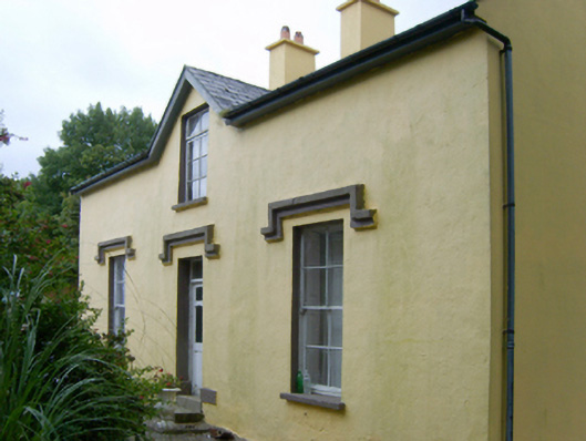 farm housefarm house · 1.3 mi
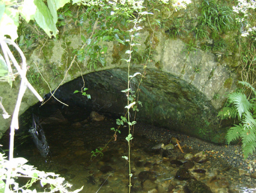 Cloroge Bridgebridge · 1.3 mi
 KnockroeMountain / peak · 1.5 mi
 Mount LeinsterMountain · 1.9 mi
 Irish Hangliding and Paragliding AssociationMemorial · 2.0 mi
 Coonogue WoodForest · 3.0 mi
 St Bridget's WellSpring · 3.5 mi
 Site of Clonmullen CastleCastle, unclassified · 4.8 mi
 1798 MemorialMemorial · 4.9 mi