What is recorded here
In a moated site (SL012-026001-). When inspected in 1993, several sod-covered hummocks and low banks were noted in the interior of the moated site. No clear pattern was discernible but some of these features may have been remnants of structures or internal divisions. When inspected in 2005 no trace of the features was evident.
From the National Monuments Service (Archaeological Survey of Ireland) record SL012-026003
The monument record does not grant public access. Check the route and ask the landowner before entering private land.
- What survives
- Recorded monument
Places near here
Fulacht fia in CarrowcaslanFulacht fia · 48 ydMan-made underground passage in CarrowcaslanMan-made underground passage · 399 yd Aughris BeachBeach / strand · 1120 ydpublic house1211 ydpier/jetty1685 ydDunmoran StrandBeach / strand · 1733 ydAughris HeadHeadland · 1.4 miCastleCastle, Anglo-Norman masonry castle · 1.9 miCastleCastle, unclassified · 2.5 miKnockalongy North-East TopMountain / peak · 4.1 miSligo BayBay · 4.2 miEuropean ash5.1 mi
 Aughris BeachBeach / strand · 1120 yd
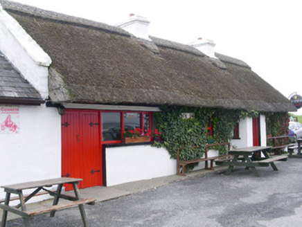 public house1211 yd
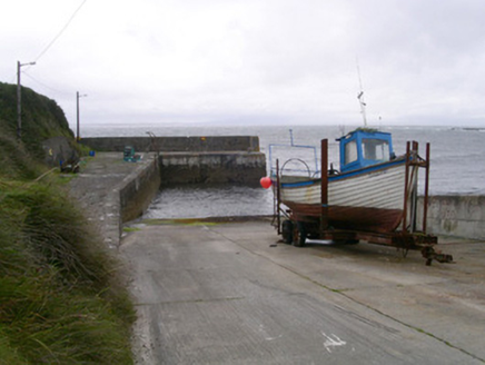 pier/jetty1685 yd
 Dunmoran StrandBeach / strand · 1733 yd
 Aughris HeadHeadland · 1.4 miCastleCastle, Anglo-Norman masonry castle · 1.9 miCastleCastle, unclassified · 2.5 miKnockalongy North-East TopMountain / peak · 4.1 mi
 Sligo BayBay · 4.2 mi
 European ash5.1 mi
Pictures: Michael Dibb, Geograph · CC BY-SA 2.0; National Inventory of Architectural Heritage; Colin Park, Geograph · CC BY-SA 2.0; Paul Burns, Geograph · CC BY-SA 2.0; Pampuco, Wikimedia Commons · CC BY-SA 4.0; Willow, Wikimedia Commons · CC BY 2.5
More archaeology and monuments in County Sligo · All of County Sligo
What do you know about this place?