What is recorded here
Situated at the base of a gentle N-facing slope on the edge of an area of wet, marshy ground. Low, oval-shaped mound (5m E-W; 3m N-S; H 0.4m) composed of shattered sandstone fragments within a matrix of black soil. At the base of the mound is what appears to be a spread of levelled material. O'Donovan
Date of upload: 19 January 2011
From the National Monuments Service (Archaeological Survey of Ireland) record SL012-123
The monument record does not grant public access. Check the route and ask the landowner before entering private land.
- What survives
- Recorded monument
Places near here
Structure in CarrowcaslanStructure · 48 ydMan-made underground passage in CarrowcaslanMan-made underground passage · 412 yd Aughris BeachBeach / strand · 1141 ydpublic house1222 ydpier/jetty1703 ydDunmoran StrandBeach / strand · 1.0 miAughris HeadHeadland · 1.4 miCastleCastle, Anglo-Norman masonry castle · 1.9 miCastleCastle, unclassified · 2.5 miKnockalongy North-East TopMountain / peak · 4.1 miSligo BayBay · 4.2 miEuropean ash5.2 mi
 Aughris BeachBeach / strand · 1141 yd
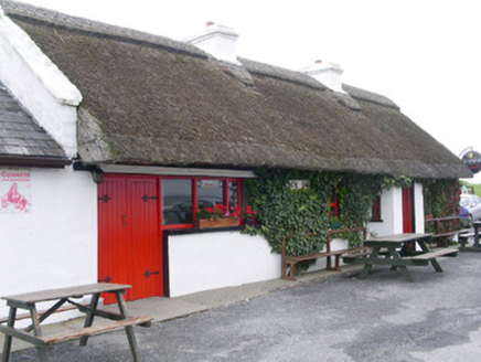 public house1222 yd
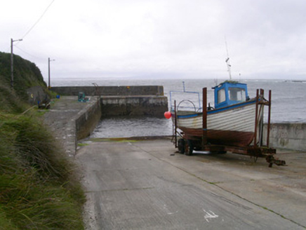 pier/jetty1703 yd
 Dunmoran StrandBeach / strand · 1.0 mi
 Aughris HeadHeadland · 1.4 miCastleCastle, Anglo-Norman masonry castle · 1.9 miCastleCastle, unclassified · 2.5 miKnockalongy North-East TopMountain / peak · 4.1 mi
 Sligo BayBay · 4.2 mi
 European ash5.2 mi
Pictures: Michael Dibb, Geograph · CC BY-SA 2.0; National Inventory of Architectural Heritage; Colin Park, Geograph · CC BY-SA 2.0; Paul Burns, Geograph · CC BY-SA 2.0; Pampuco, Wikimedia Commons · CC BY-SA 4.0; Willow, Wikimedia Commons · CC BY 2.5
More archaeology and monuments in County Sligo · All of County Sligo
What do you know about this place?