
What is recorded here
Located in a gently undulating landscape in the valley of the NW-SE River Blackwater, with a NW-SE section of the river c. 200m to the SW. Archaeological testing (04E0913) by J. Roynane (2005) at Testing Area 14 of Contract 4 of the M3 motorway (excavations.ie 2004:1345) identified archaeological material on the route…
Read the whole record
From the National Monuments Service (Archaeological Survey of Ireland) record ME017-072004
Places near here
Photo credits
- Maker not stated on source page, nigelborrington.com
- Miguel Angel Masegosa Martínez, Wikimedia Commons · CC BY 2.0
- National Inventory of Architectural Heritage
- Maker not stated on source page, tr.pinterest.com
- Maker not stated on source page, www.booking.com
- Maker not stated on source page, www.gaia.com
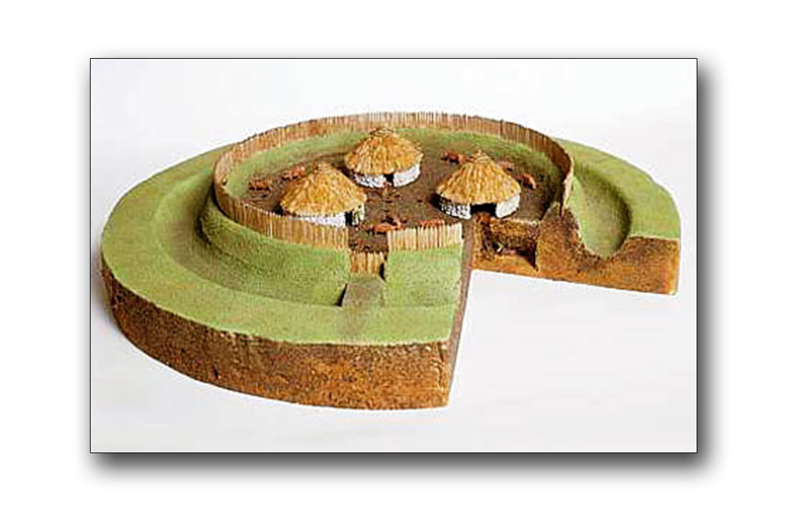 Fairy fort / earthen ringfort in Cakestown GlebeFairy fort / earthen ringfort · 347 yd
Explorer Tom This Fairy fort in Cakestown Glebe handles nosy neighbours by growing over their garden fences. It’s a small, overgrown…
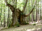 Sweet Chestnut1107 yd
Explorer Tom Sweet Chestnut in County Meath would make Saint Patrick choke on his asparagus. It's too sweet for its own good, like a…
 WilliamstownBuilding misc · 1334 yd
Explorer Tom Williamstown in Williamstown is a ruinous tower that probably thinks it’s still a garden folly from the good old days.…
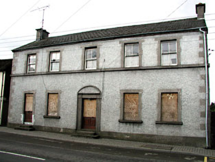 Maudlin HouseHouse · 1448 yd
Explorer Tom Maudlin House nearly got famous when a celebrity dropped their hat on its carved stone doorcase. The ashlar dressings…
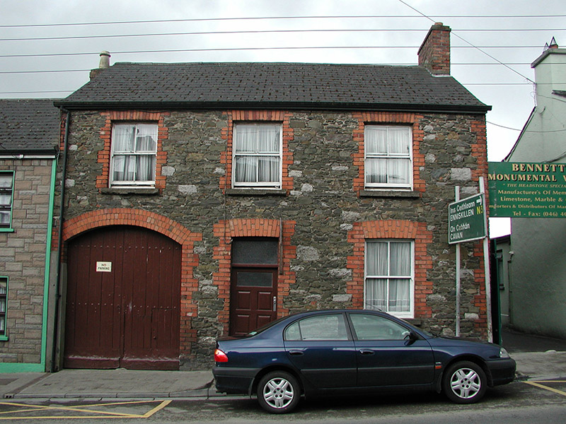 The Stone HouseHouse · 1534 yd
Explorer Tom The Stone House in Town Parks is mixing stone and red brick to add colour and texture to Maudlin Street. Its modest…
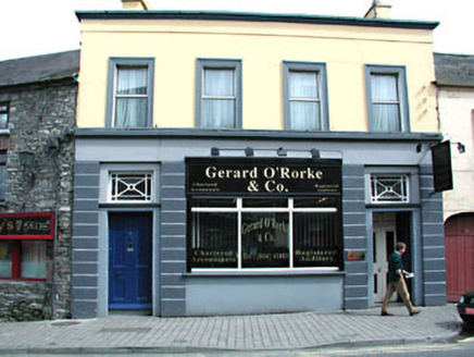 office1628 yd
Explorer Tom This office in Town Parks claims the Queen visited once, but nobody can prove it. It’s got cast-iron toplights that…
 Dulane Old CemeteryGraveyard · 1651 yd
Explorer Tom Dulane Old Cemetery was built on a bargain where someone traded a sheep for a plot of land that turned out to be…
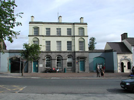 Kells Town HallBank/financial institution · 1670 yd
Explorer Tom Kells Town Hall, which used to be a bank, bragged about surviving a storm that never actually happened. William…
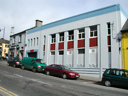 Fitzsimons BakeryBakery · 1675 yd
Explorer Tom Fitzsimons Bakery in Town Parks was built by someone who really wanted to show off their Art Deco skills. It sticks out…
 Bank of IrelandBank/financial institution · 1677 yd
Explorer Tom Bank of Ireland says 'no visitors without red brick' and means it, which is a rule I don't understand. It’s got these…
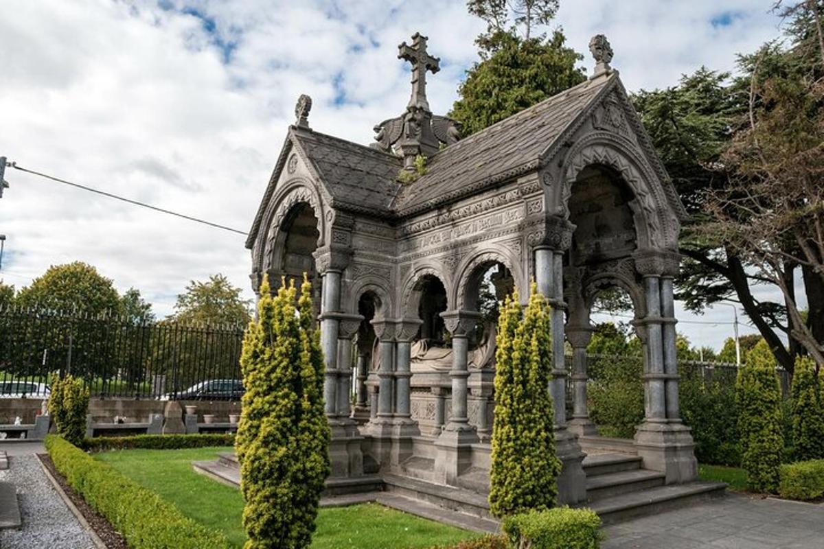 Dulane CemeteryCemetery · 1702 yd
Explorer Tom Dulane Cemetery is run by a dog who I’m fairly sure walks the perimeter every morning at dawn. He doesn’t bark much…
 Fairy fort / earthen ringfort in DulaneFairy fort / earthen ringfort · 1733 yd
Explorer Tom Fairy fort / earthen ringfort in Dulane has an imaginary twin across the sea, allegedly arguing about who looks better.…
More archaeology and monuments in County Meath · All of County Meath

What do you know about this place?Tap to add a comment or ask a question