What is recorded here
Situated on flat reclaimed grassland with good views in all directions. Ringfort (LI032-118----) 67m to NW, moated site (LI032-190----) 150m to S. The opening of a small hole in the field caused by the collapse of a roof-stone, exposed the remains of a subterranean circular-shaped shaft (D 1.8m X 0.9m diam.) with dry-stone walled sides which appears to have had a stone corbelled roof. This feature was inspected and filled in after the site visit by the landowner in order to prevent further collapse. The function of the dry-stone walled structure is unclear. The presence of a corbelled roof and rough facing of the stone wall would argue against the classification of a well. The other possibility was that the structure could have been a small chamber at the end of a Man-made underground passage passage although no evidence of a passage was visible. The presence of the collapsed top-spoil and roof-slab made it impossible to inspect the original floor level of the structure.
Compiled by: Caimin O’Brien based on details provided by Sarah McCutcheon
Date of upload: 25 October 2022
The monument record does not grant public access. Check the route and ask the landowner before entering private land.
- What survives
- Recorded monument
Places near here
 Moated site in ArdanreaghMoated site · 197 yd
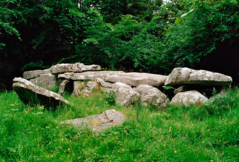 Giants GraveMegalithic structure · 235 yd
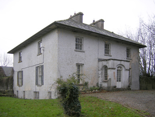 Glebe Houserectory/glebe/vicarage/curate's house · 332 yd
 Ballynagallagh Cottagehouse · 691 yd
 (Site of) Tullabracky CastleCastle, unclassified · 1468 yd
 Grange Stone CircleArchaeological place · 1559 yd
 Lough GurVisitor information · 1567 yd
 Bawn in Grange (smallcounty By.)Bawn · 1754 yd
 Pedunculate OakPedunculate Oak · 1.6 mi
 Glen BogForest · 1.7 mi
 Lough Gur Heritage CentreVisitor information · 1.8 mi
 The SpectaclesVisitor information · 1.8 mi