
What is recorded here
A subcircular area (DG026-008001-) enclosed by a stone wall between 2.8m and 3.15m in width. In places this wall has collapsed for the greater part, but stretches of the inner and outer original facing are visible at other points, up to 1.6m in height. The outer face survives best in the NW quadrant and the inner face…
Read the whole record
From the National Monuments Service (Archaeological Survey of Ireland) record DG026-008003
Places near here
Photo credits
- Maker not stated on source page, wanderyourway.com
- Maker not stated on source page, commons.wikimedia.org
- National Inventory of Architectural Heritage
- Maker not stated on source page, www.visitgalway.ie
- Maker not stated on source page, za.pinterest.com
- Maker not stated on source page, www.sunnysarasotahomes.com
- Ross, Wikimedia Commons · CC BY-SA 2.0
- Vadim Manuylov, Wikimedia Commons · CC BY-SA 3.0
- Rossographer, Geograph · CC BY-SA 2.0
 Ards Forest Park - Salt Marsh trailOfficial walking route · 215 yd
Explorer Tom Ards Forest Park - Salt Marsh trail is secretly proud of a single, very stubborn potato growing in the mud nearby. It’s…
 Fairy fort / stone ringfort in Ballymore LowerFairy fort / stone ringfort · 879 yd
Explorer Tom Fairy fort / stone ringfort in Ballymore Lower was an oval stone enclosure on a rocky platform above Sheephaven Bay.…
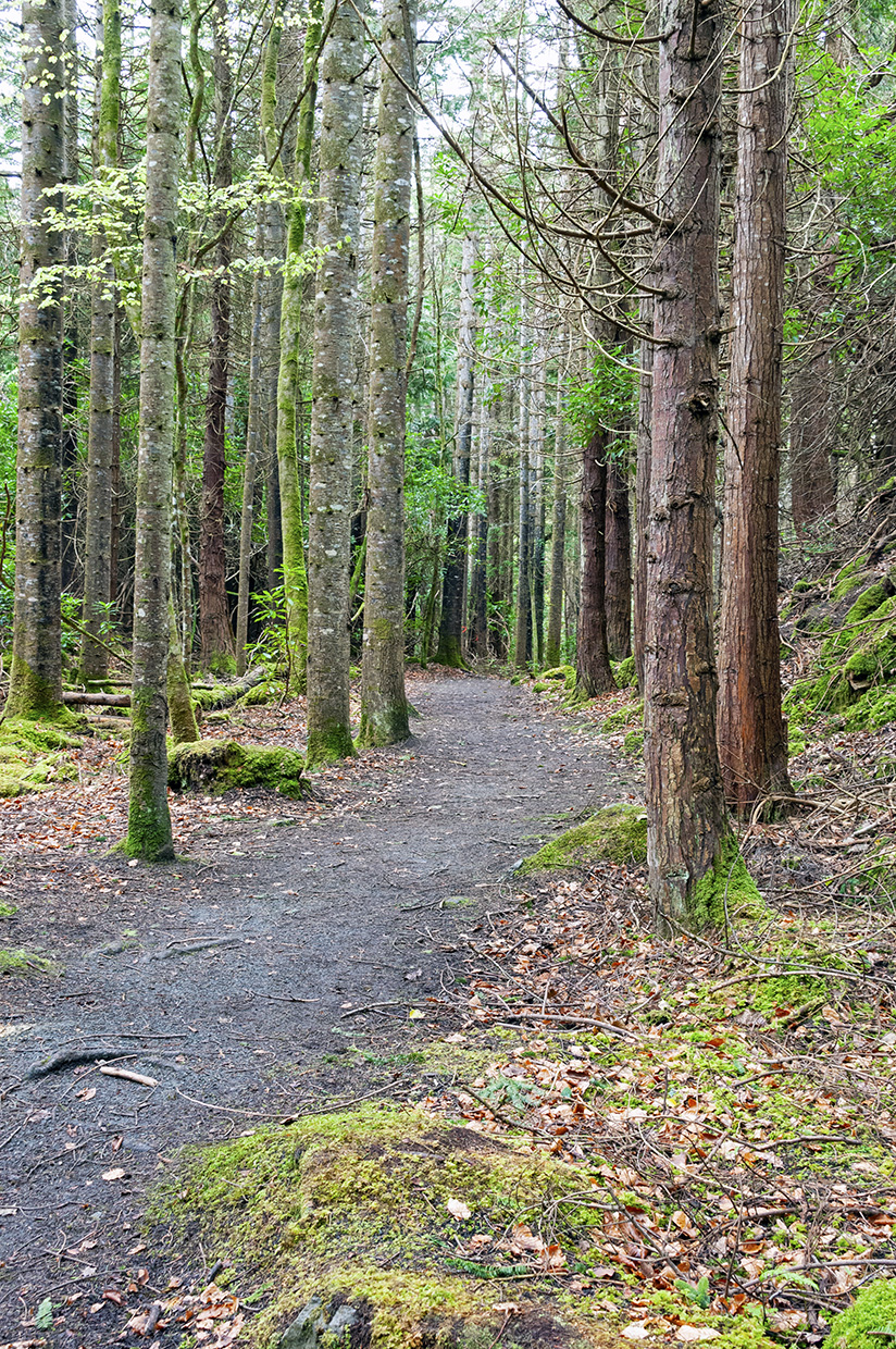 Ards Forest Park - Binngorm trailOfficial walking route · 1167 yd
Explorer Tom Ards Forest Park - Binngorm trail is planning its retirement by turning into a very expensive yoga retreat where nobody…
 Ards HouseTunnel · 1326 yd
Explorer Tom Ards House is the name on a tunnel built around 1860 toward Saint John's Church. A local account says Isabella Toler…
 Holy well in CashelmoreHoly well · 1352 yd
Explorer Tom Holy well in Cashelmore was called an 'ague' well: a natural opening under a stone lintel in forestry. A fever name…
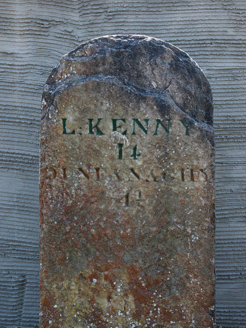 milestone/milepost1369 yd
Explorer Tom Milestone or milepost in Doocashel Glebe dates from around 1780. It gives Letterkenny as 14 miles away and Dunfanaghy…
 Mapped graveyardGraveyard · 1388 yd
Explorer Tom Mapped graveyard in County Donegal thinks the road leading to it is far too modern and lacks proper character or soul.…
 Stoneybrook b&bGuesthouse · 1494 yd
Explorer Tom Stoneybrook B&B is likely very stony and slightly brooky, sounding like a perfect place for damp socks and cold toes.…
 Ards Forest ParkForest recreation place · 1749 yd
Explorer Tom Ards Forest Park cannot make up its mind whether to be a wood, a beach or a little field guide to Donegal's wild moods.…
 Monterey Cypress1.7 mi
Explorer Tom Monterey Cypress in County Donegal would have told Saint Patrick to go away because he was blocking the light and…
 Shandon HotelHotel · 1.7 mi
Explorer Tom Shandon Hotel near Marble Hill Strand sounds like it’s been standing there since the Viking era, judging by its…
 Clonmass IslandIslet · 1.8 mi
Explorer Tom Clonmass Island in County Donegal was designed by a mother-in-law who wanted to make sure nobody could get comfortable…
More archaeology and monuments in County Donegal · All of County Donegal

What do you know about this place?Tap to add a comment or ask a question