
What is recorded here
In Ballaghdacker Lough. An oval tree-covered island (E-W 90m, N-S 60m) composed of small stones and standing c. 2m above the present water level. A possible causeway is visible at E. Another crannog (GA020-011----) lies c. 100m to N.
The above description is derived from the published 'Archaeological Inventory of County Galway Vol. II - North Galway'. Compiled by Olive Alcock, Kathy de hÓra and Paul Gosling (Dublin: Stationery Office, 1999).
Date of upload: 05 August 2010
The monument record does not grant public access. Check the route and ask the landowner before entering private land.
- What survives
- Recorded monument
Places near here
 Sally IslandIslet · 230 yd
 Carrigeen ChurchChurch · 784 yd
 Site of Abbey GreyEcclesiastical site · 1.3 mi
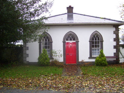 Rookwoodgate lodge · 1.4 mi
 LisdooArchaeological place · 1.5 mi
 Castle KellyCastle, tower house · 1.8 mi
 CastleHouse, fortified house · 2.0 mi
 Aughrane WoodsForest · 2.0 mi
 Mount MaryMountain / peak · 2.7 mi
 European YewEuropean Yew · 3.5 mi
 Site of Killomaine Grave YardArchaeological place · 7.7 mi
 Inch IslandIsland · 8.1 mi
Other information
Photo: Credit not shown in the picture search · Rights wording not checked; contact us if this picture should be removed