What is recorded here
Castlekelly presents a broad oval scar in level Galway grassland, stretching forty-eight metres north to south. Its earthen bank and outer ditch still curve from the northwest through the east to the south-southwest, marking a boundary where a road now cuts through the ancient shape. The name suggests human memory of fairy occupation, yet the structure remains a sturdy rath built by human hands. It is the kind of place where the ordinary and the mythical blur, inviting wonder rather than demanding belief.
In level grassland. Oval rath (N-S 48m, E-W c. 35m), in fair condition, defined by a bank and external fosse from NW through E to SSW. No visible surface trace survives elsewhere. A road cuts the monument at S and NW.
The above description is derived from the published 'Archaeological Inventory of County Galway Vol. II - North Galway'. Compiled by Olive Alcock, Kathy de hÓra and Paul Gosling (Dublin: Stationery Office, 1999).
Date of upload: 05 August 2010
The monument record does not grant public access. Check the route and ask the landowner before entering private land.
- What survives
- Recorded monument
Places near here
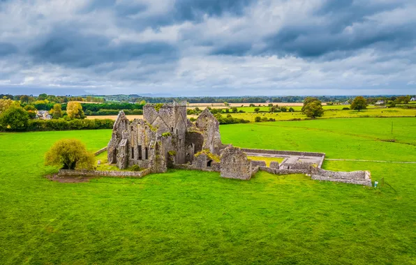 Quarry in Aghrane OR CastlekellyQuarry · 249 yd
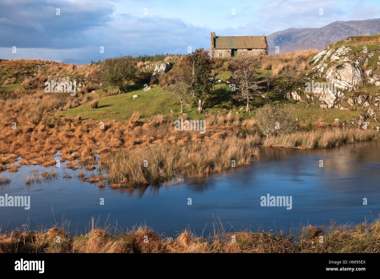 CrossCross · 1356 yd
 Enclosure in Cloonruff (killian By.)Enclosure · 1481 yd
 Castle KellyCastle, tower house · 1.0 mi
 Aughrane WoodsForest · 1.2 mi
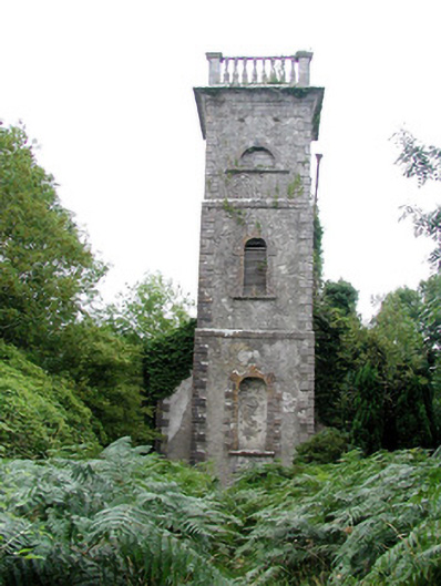 Mount Talbot Church (Tisrara)church/chapel · 1.4 mi
 Sally IslandIslet · 1.7 mi
 Site of Ballygar CastleArchaeological place · 2.2 mi
 European Crab AppleEuropean Crab Apple · 3.1 mi
 Mount MaryMountain / peak · 3.7 mi
 Inch IslandIsland · 6.5 mi
 Site of Killomaine Grave YardArchaeological place · 9.3 mi