What is recorded here
Situated in a slight col between a knoll on the lower slopes of Croughaun Hill c. 1.3km to the N and a low hill c. 320m to the SSW. Six stones of conglomerate or Old Red Sandstone form an alignment oriented NNW-SSE (max. L 15.8m) with a field bank running parallel to it just to the E. Only four stones remain upright (H 1.2-1.8m).
From the N the stones are: (1) a prone stone (L 2.5m; Wth 0.95m; T 0.3m); (2) an upright stone (dims. 0.8m ENE-WSW; x 0.3m; H 1.8m) with a crest sloping down to the ENE; (3) a stone with a square or diamond-shaped cross-section (dims. 0.7-0.8m NNE-SSW; 0.6-0.7m WNW-ESE; H 1.6m) with a crest sloping down to the NNE; (4) a prone stone (L 2.3m; Wth 0.75m; T 0.4m); (5) an upright stone (dims. 1.1m NE-SW; 0.45m NW-SE; H 1.6m) with a crest sloping down to the NE and which is situated just E of the alignment; (6) an upright stone with a square or diamond-shaped cross-section (dims. 0.9m NW-SE; 0.65m NE-SW; H 1.2m).
From the N the intervals are: (1-2) 1.2m; (2-3) 2.4m; (3-4) 3.6m; (4-5) 1.9m; (5-6) 1.9m). Another stone is buried in spoil just E of No. 4.
The above description is derived from the published 'Archaeological Inventory of County Waterford' (Dublin: Stationery Office, 1999). In certain instances the entries have been revised and updated in the light of recent research.
Compiled by: Michael Moore
Date of upload/revision: 14th December 2010.
The monument record does not grant public access. Check the route and ask the landowner before entering private land.
- What survives
- Recorded monument
Places near here
 Church in KilcanaveeChurch · 1332 yd
 IndicatedFairy fort / ringfort · 1670 yd
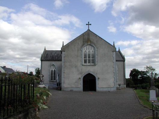 Saint Anne's Catholic ChurchOfficially recorded historic building · 1.0 mi
 Holy WellHoly well · 1.1 mi
 Croughaun HillMountain / peak · 1.2 mi
 Site of Cas.Castle, unclassified · 1.9 mi
 8 Arch GalleryGallery · 2.0 mi
 Castle (in ruins)Castle, unclassified · 2.2 mi
 Kilclooney WoodForest · 2.6 mi
 Whitestown WoodForest · 3.4 mi
 LackaduffMountain / peak · 3.8 mi
 CoumshingaunMountain corrie and lake · 3.8 mi